|
May 2024
|
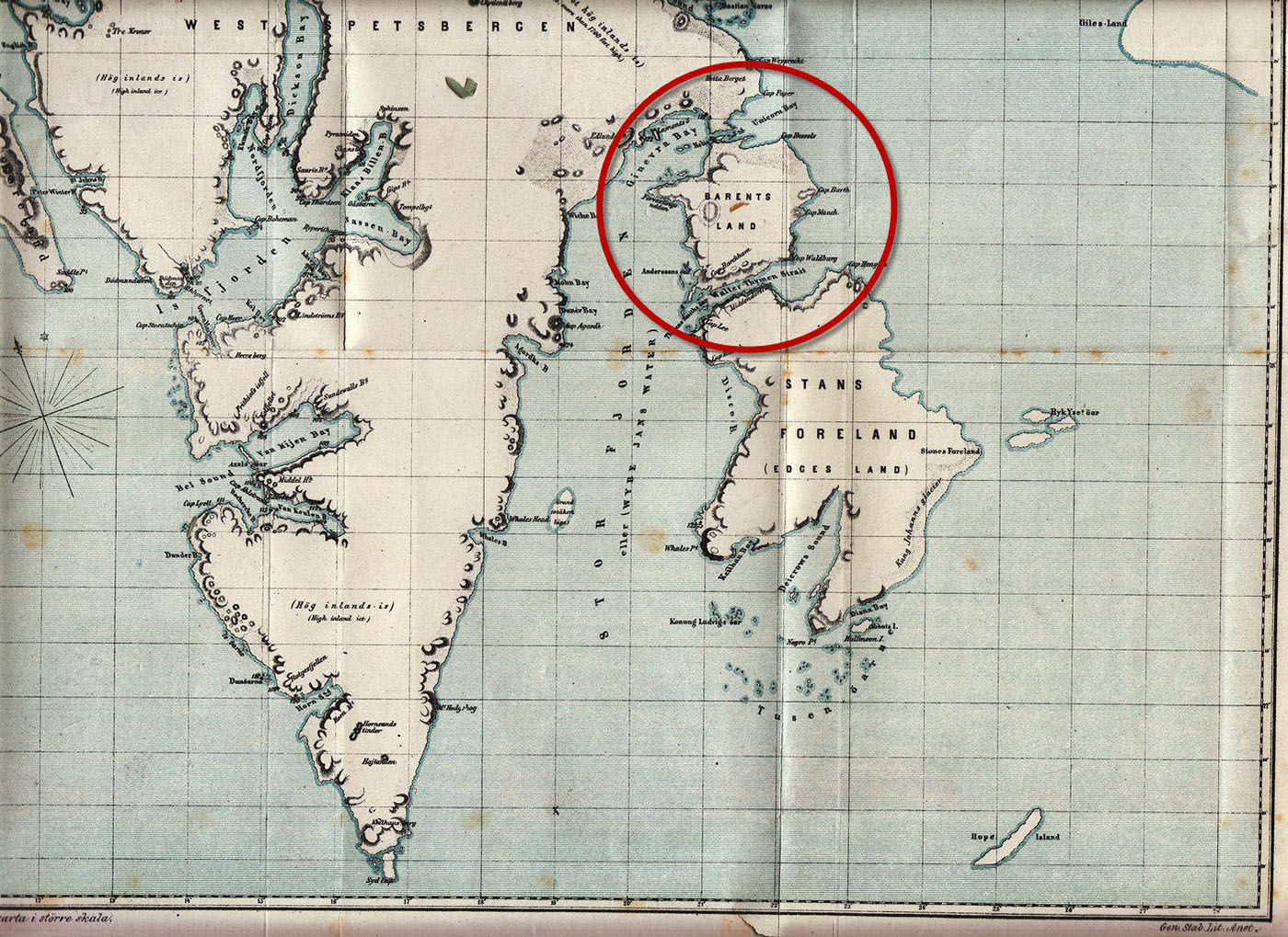
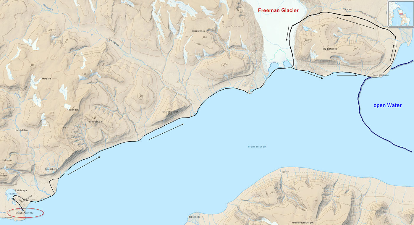
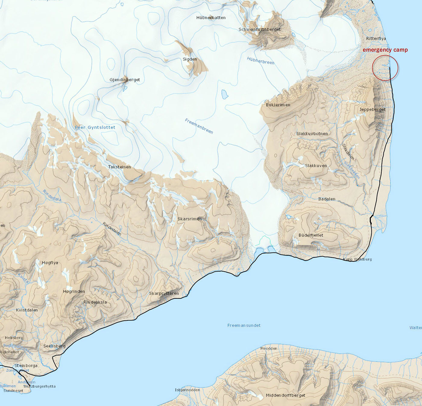
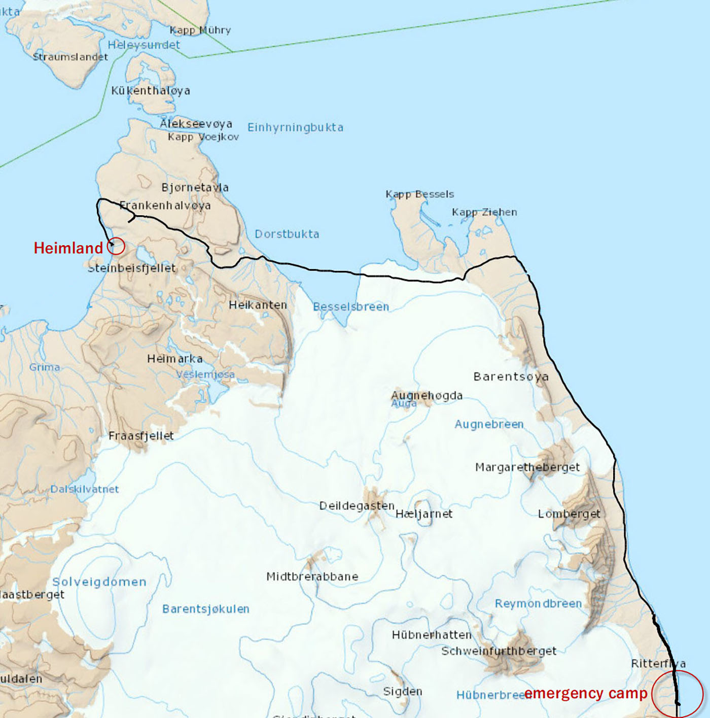
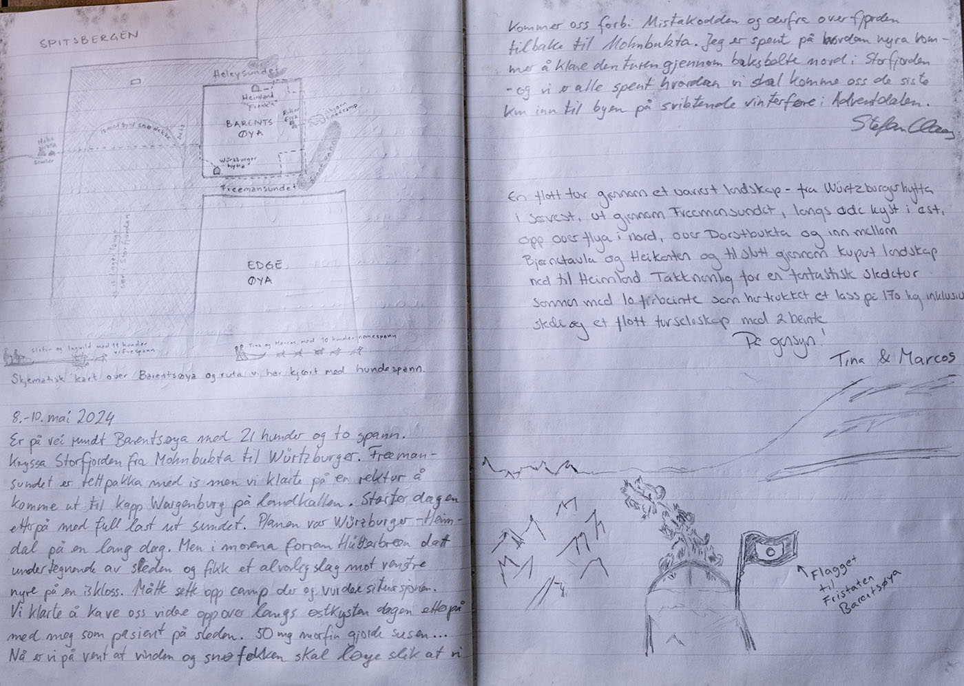
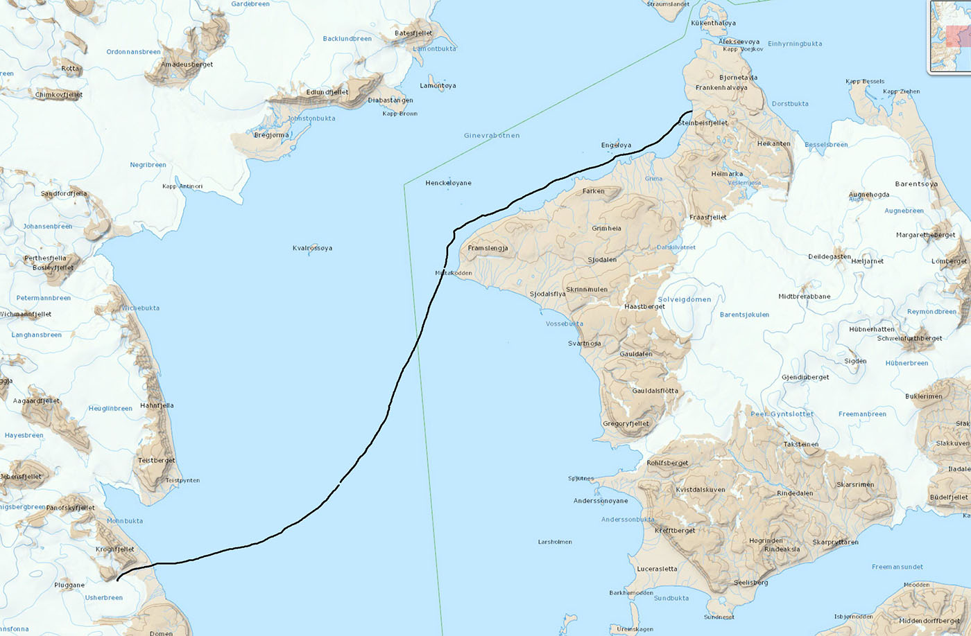
Barents Island Around 2024
|
The more recent history of land activity on Barentsøya:
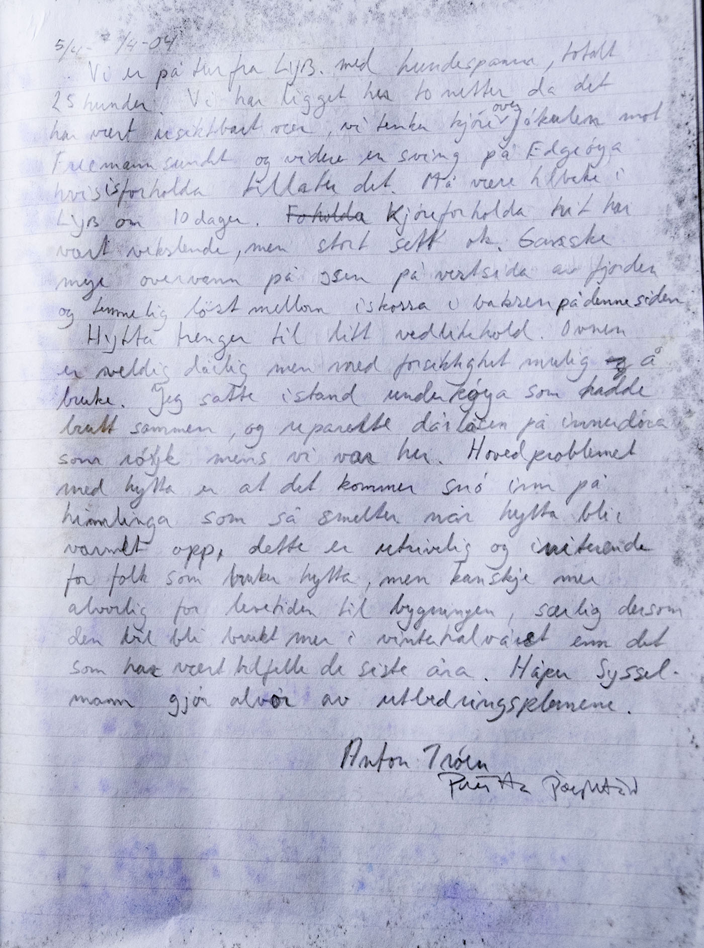
The island became a Nature Reserve in 1973 and all motorized traffic is prohibited. (snowmobile). No one had driven around the island before '73. In the early 80s, Johannes Hjønnevåg and Robin Buzza were dog driving in the northern part. In 1988, Buzza, Jan Brunner and Nina Fure were also mushing in the North. In 1992 Jan Brunner and Levi Rørvik was in the same area with dogs, Franken Peninsula. In 2004, Anton Trøen & Pritta drove from North to South across the Barentsjøkul (glacier) with dogs. In the last 20 years, no one has moved (legally) on land on the Barents Islands in wintertime.
No one has ever circumnavigated the island on land before now. Here comes the story:
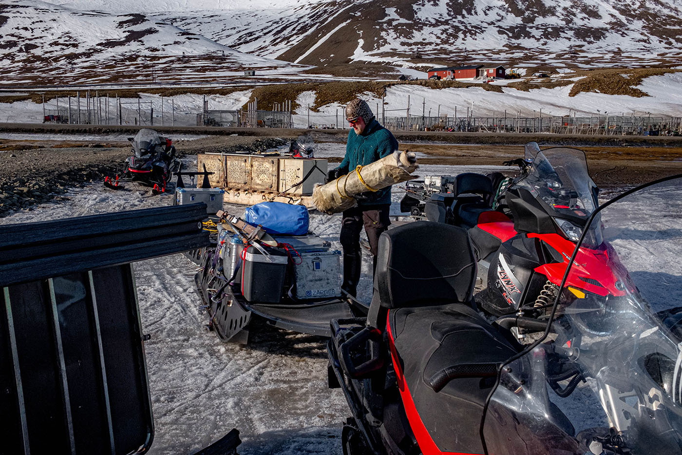
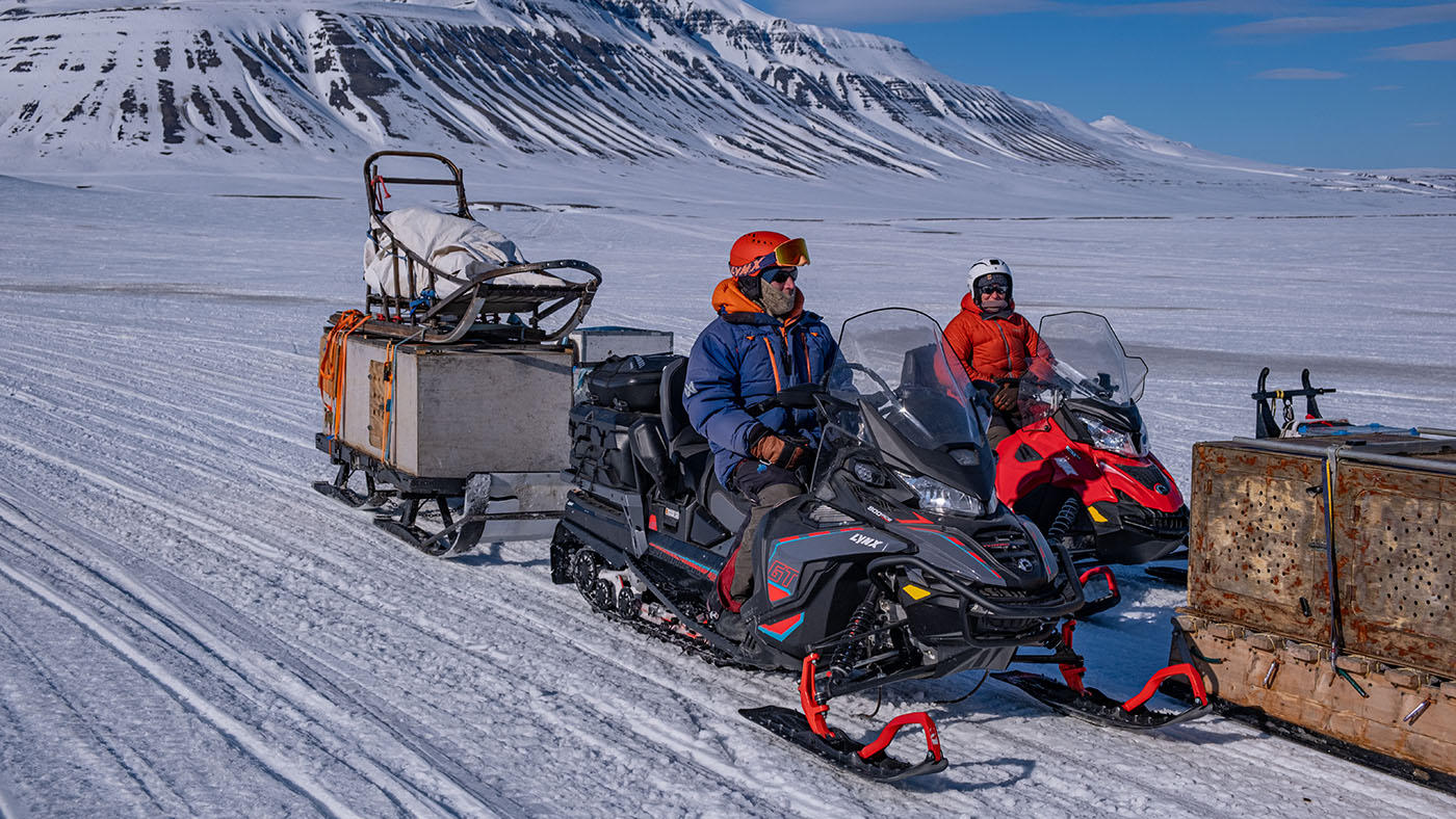
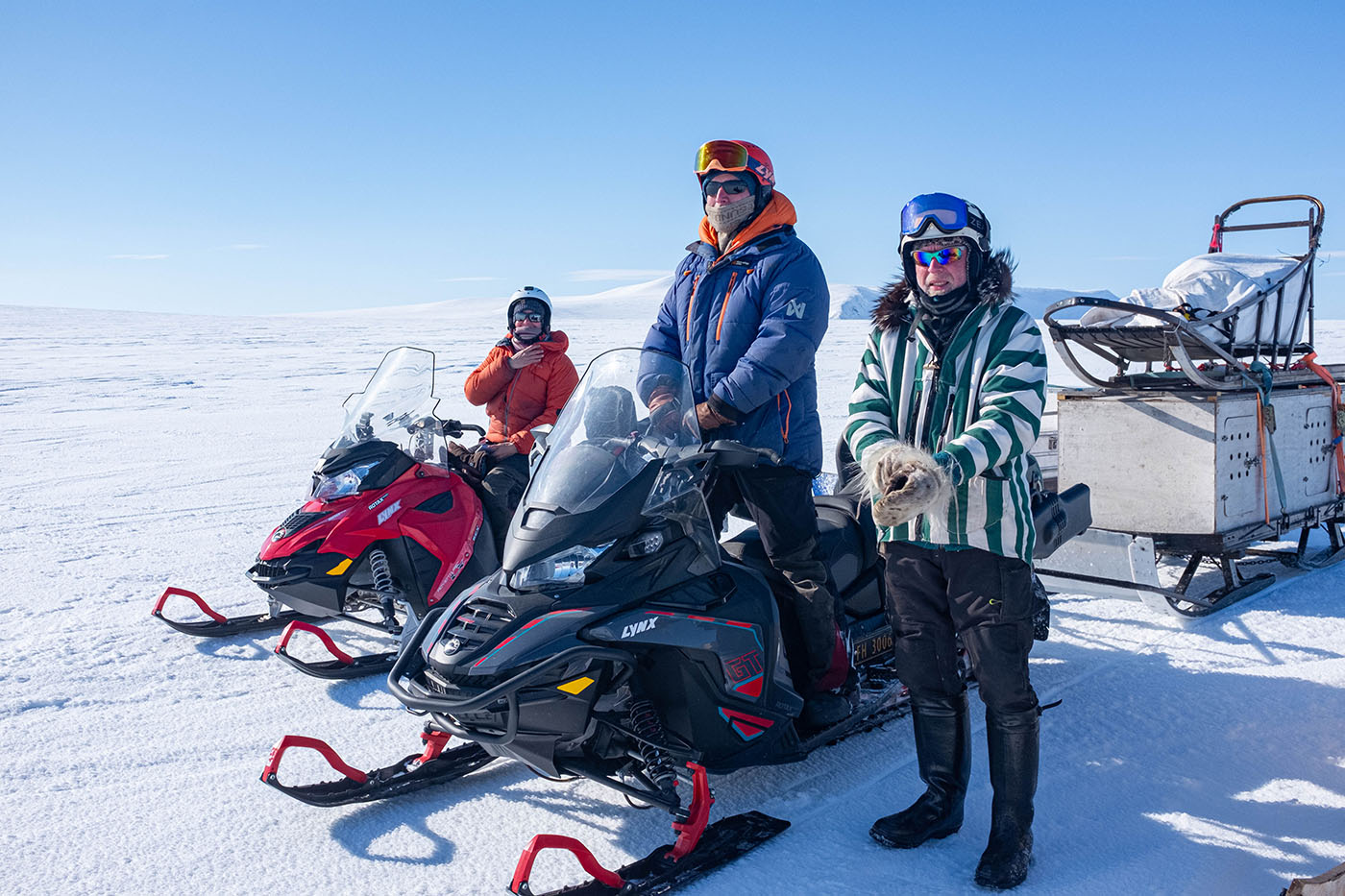
Day 0:
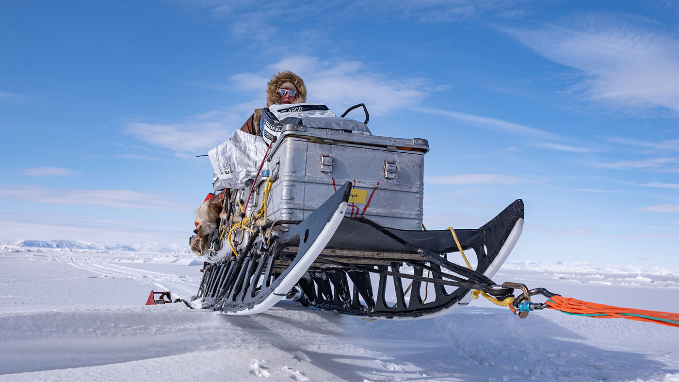
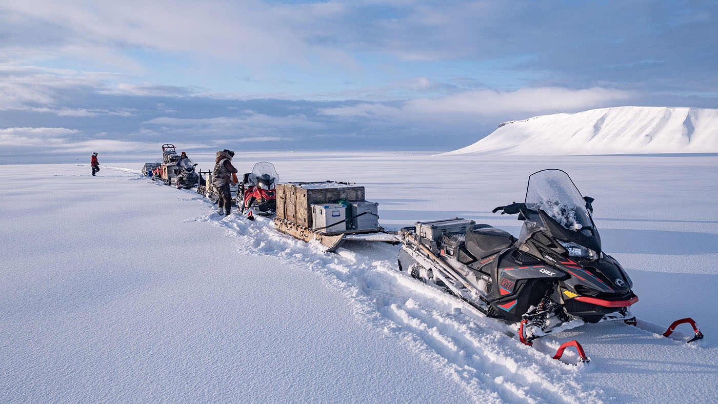
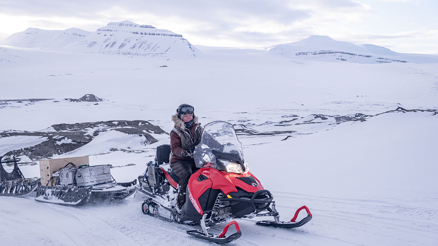
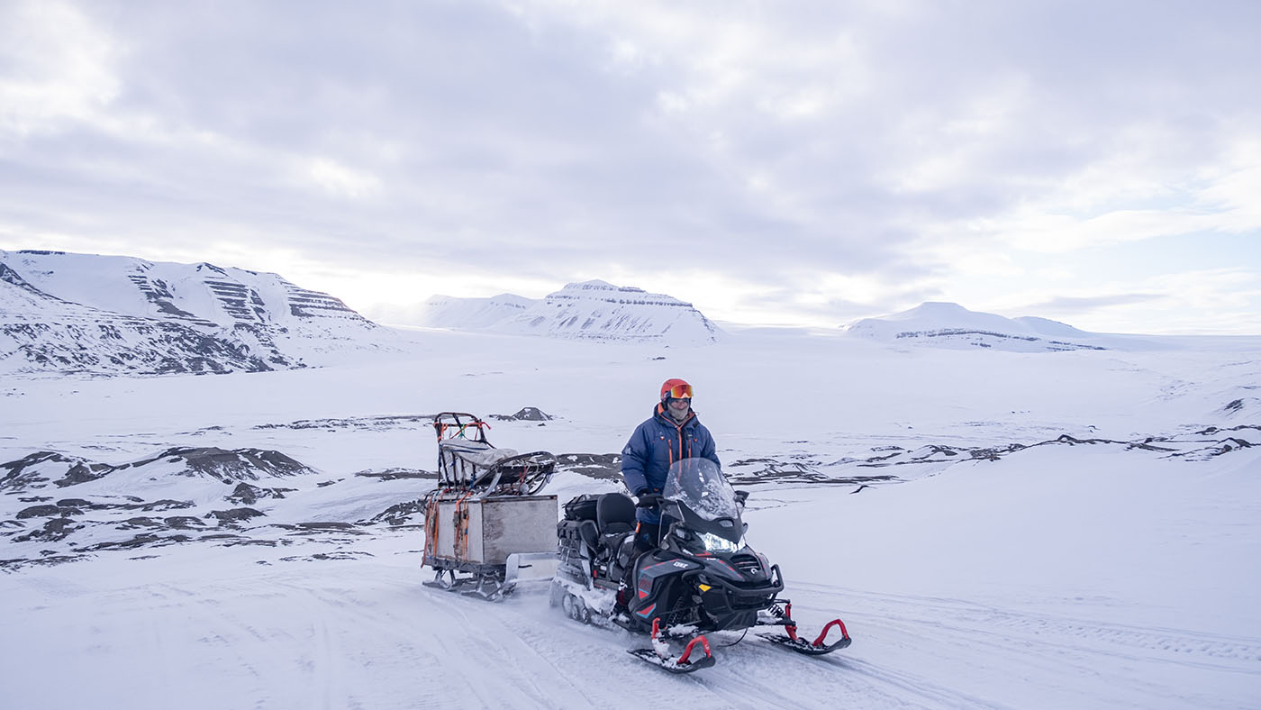
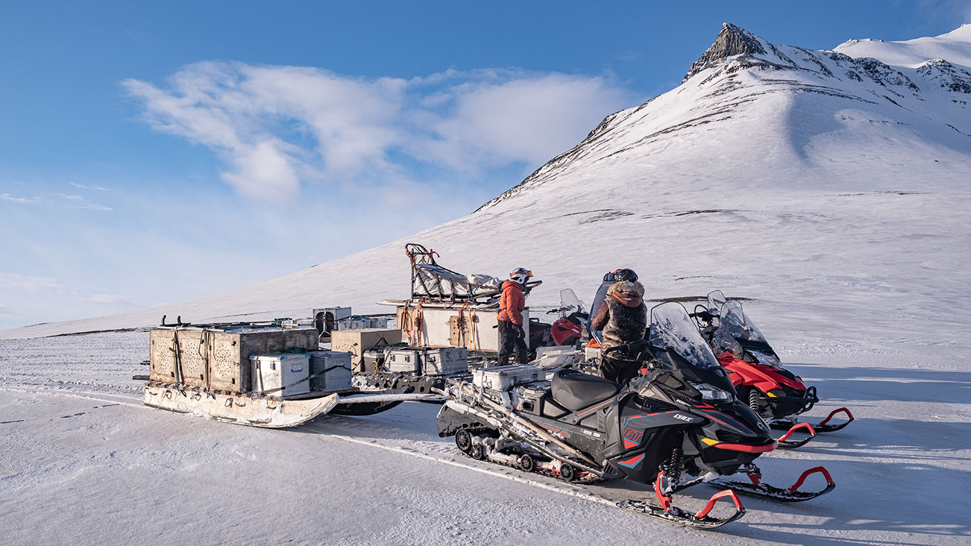
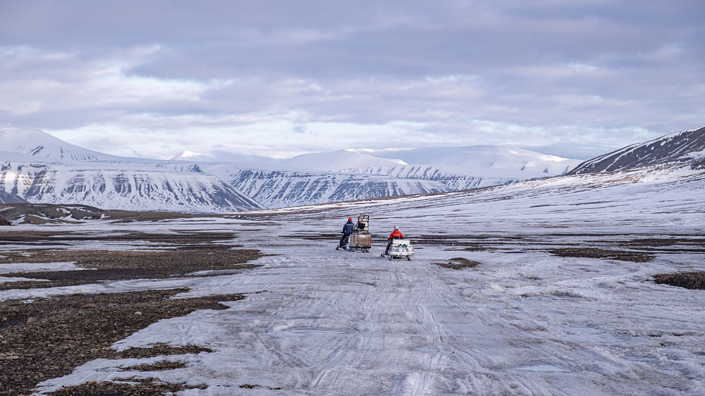
The transport of 4 humans & 21 dogs to the East Coast of Spitsbergen
Starting with snowmobiles at the dogyard in Longyearbyen
Break in Sassen Valley
On top of Usher Glacier
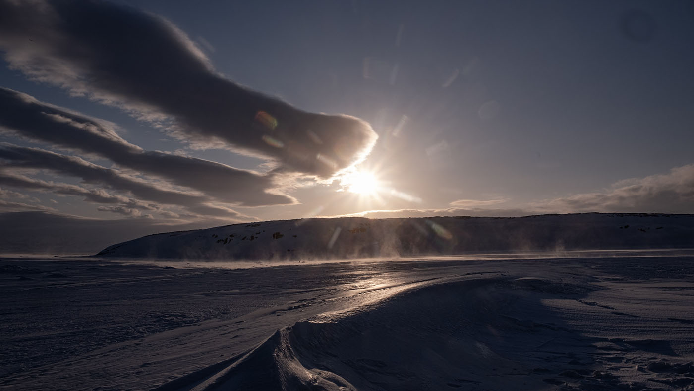
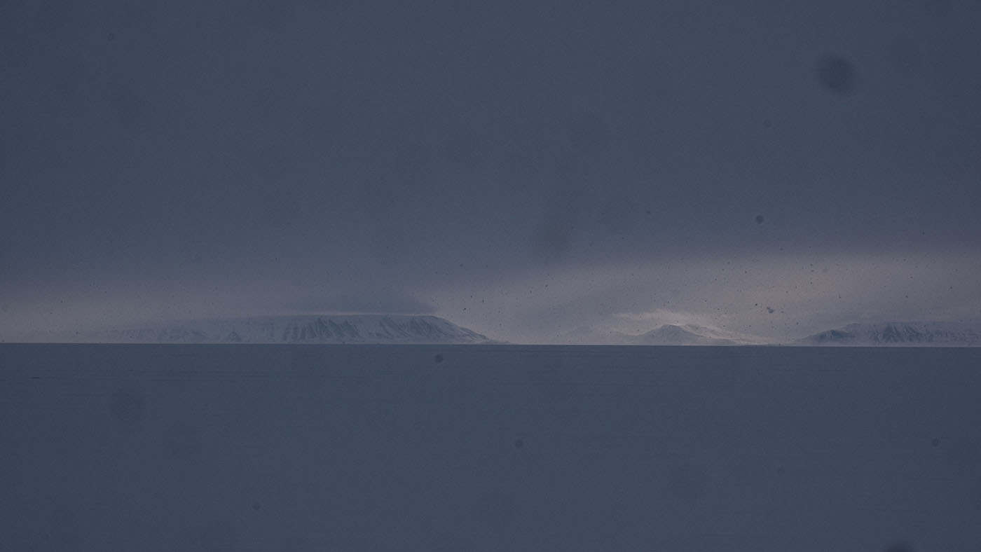
Down Usher Glacier. Barents Island and Stor Fjord in background
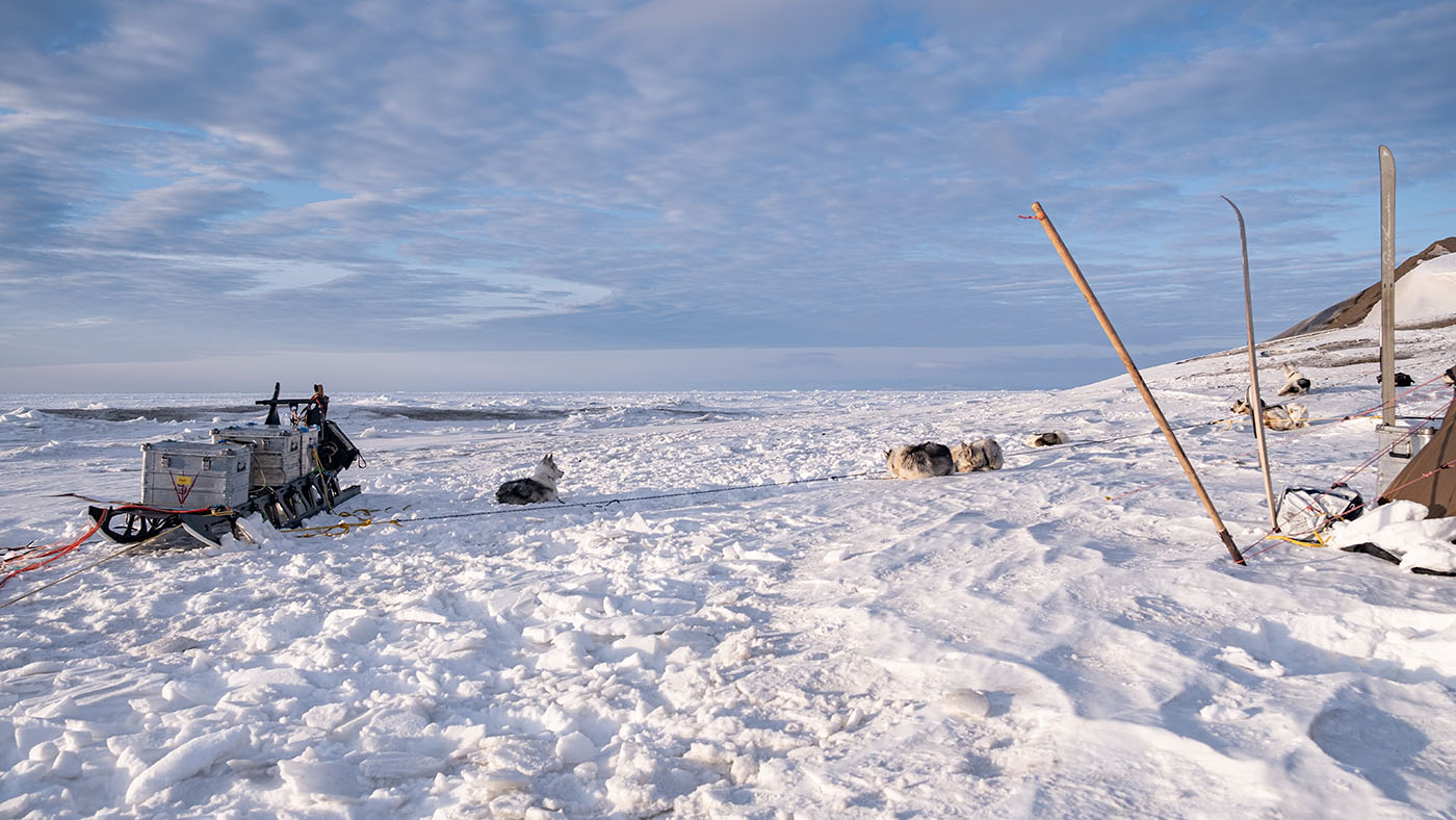
Camp at Usher Glacier morain. From here the dogs have to work.
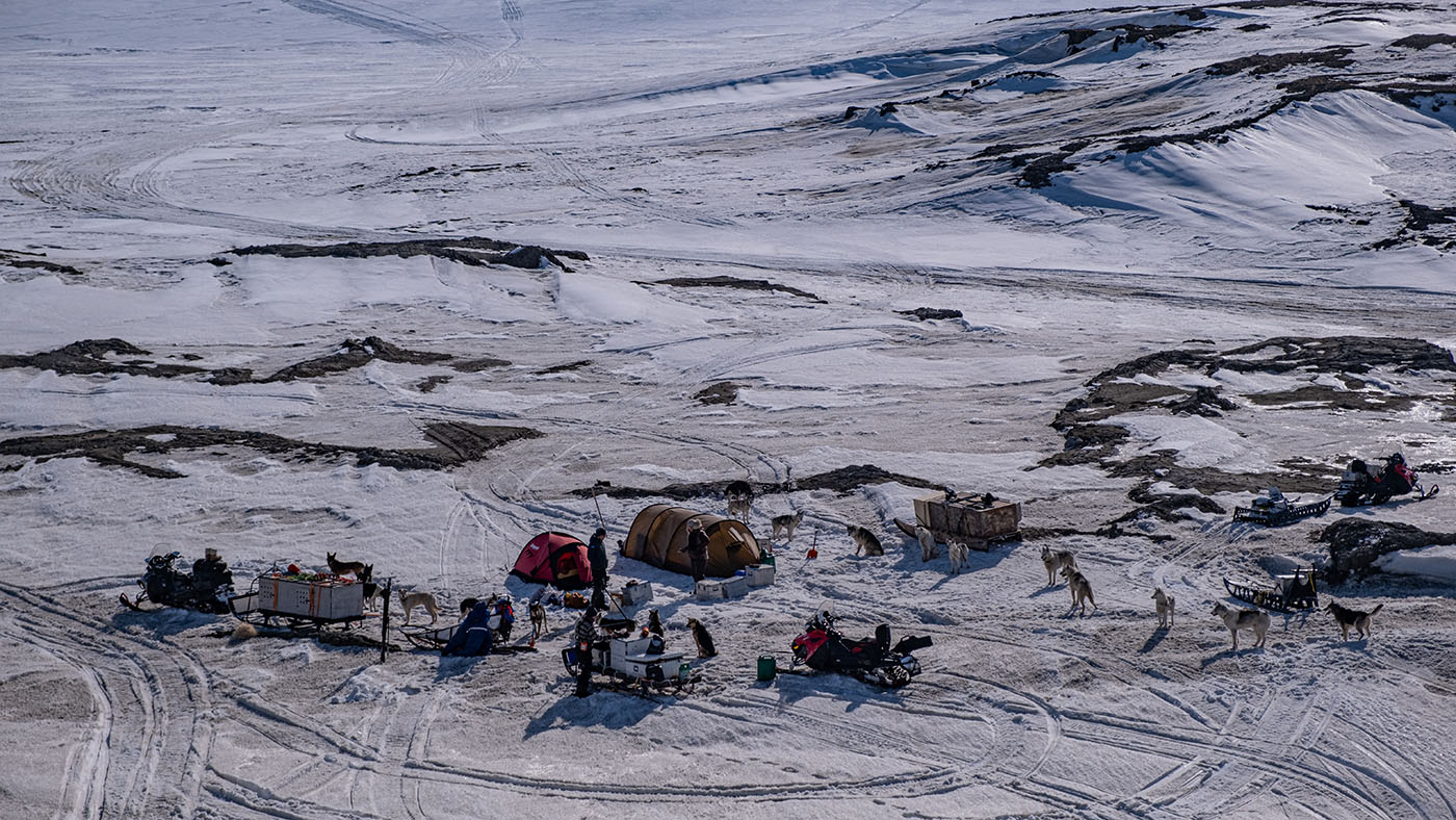
Camplife at Usher Glacier
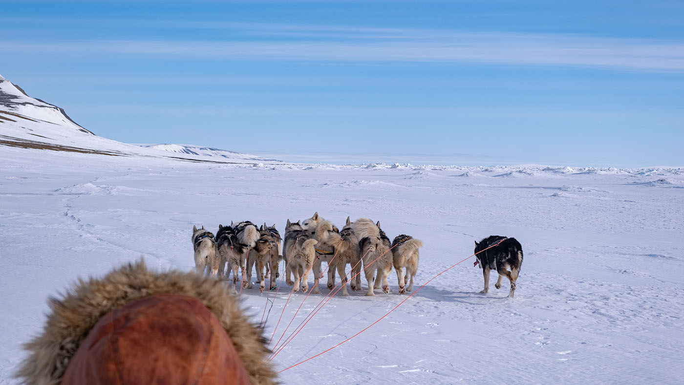
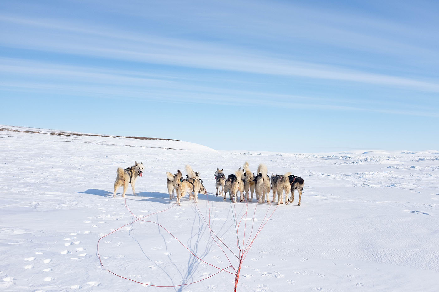
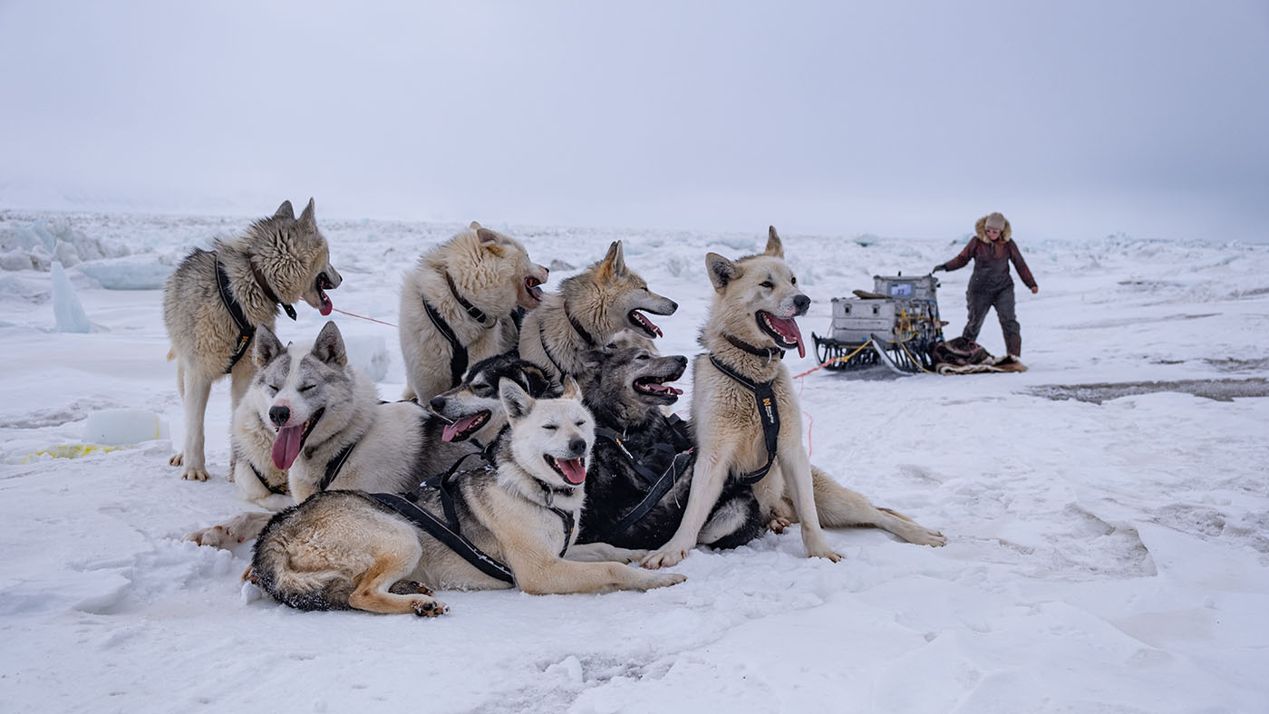
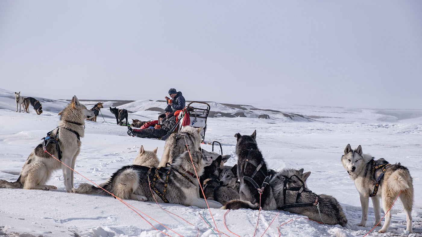
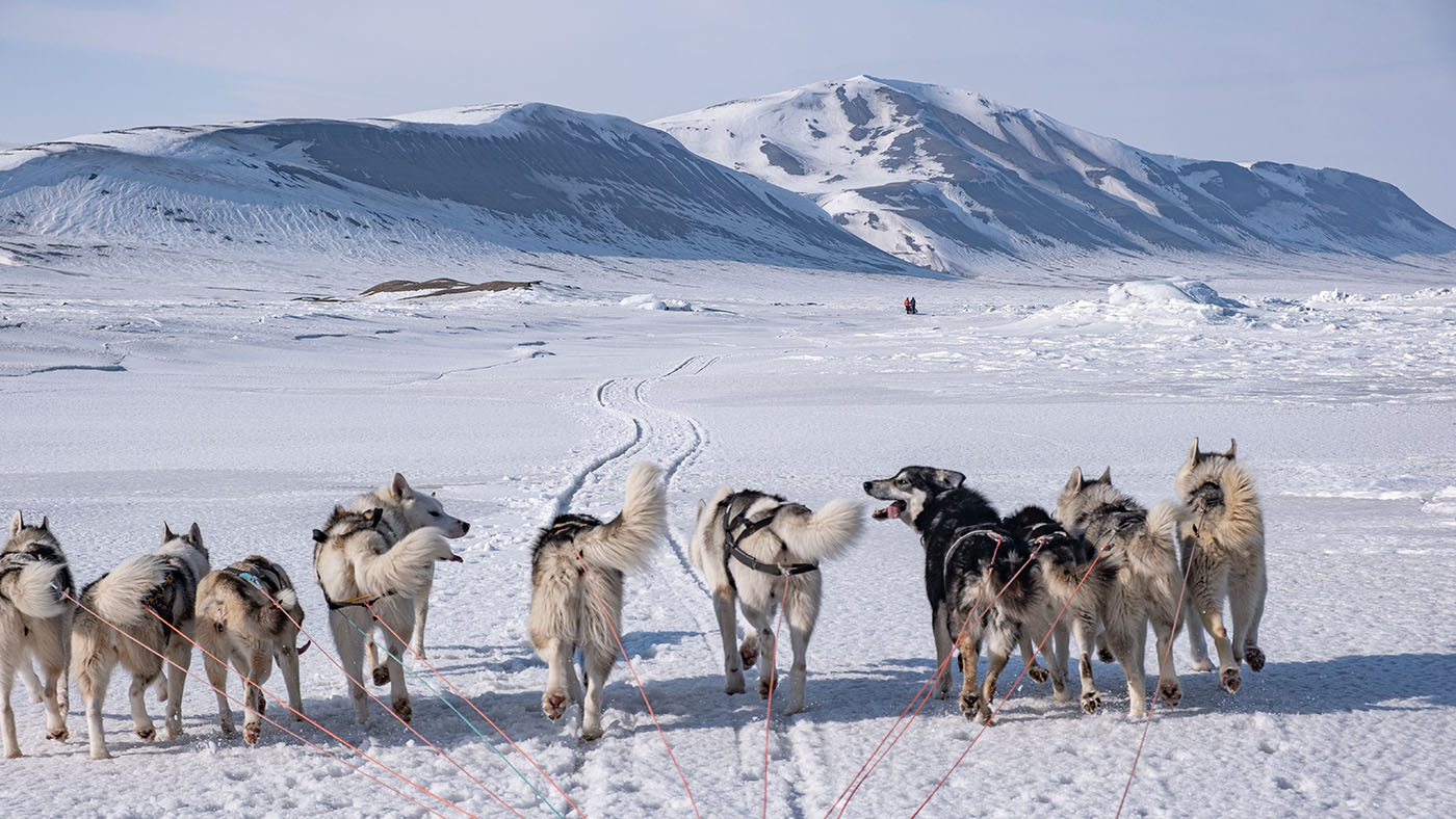
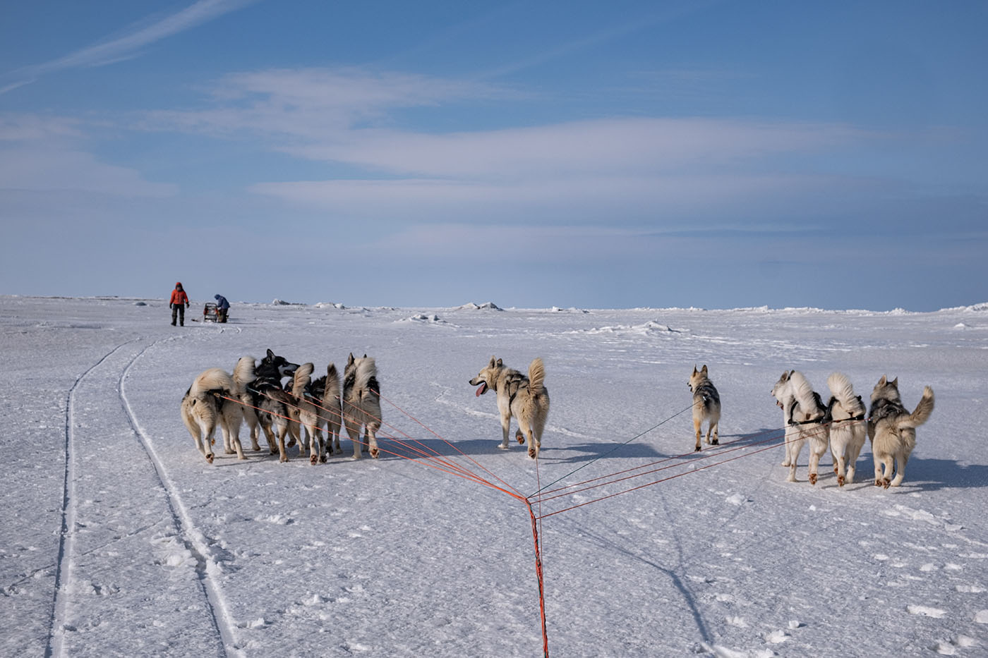
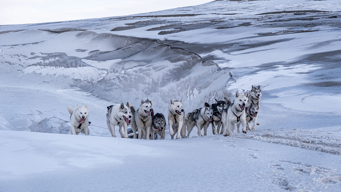
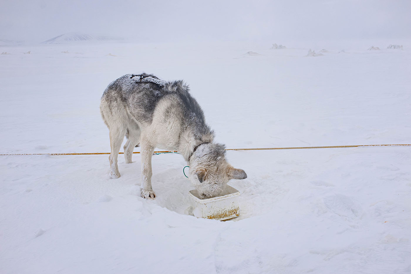
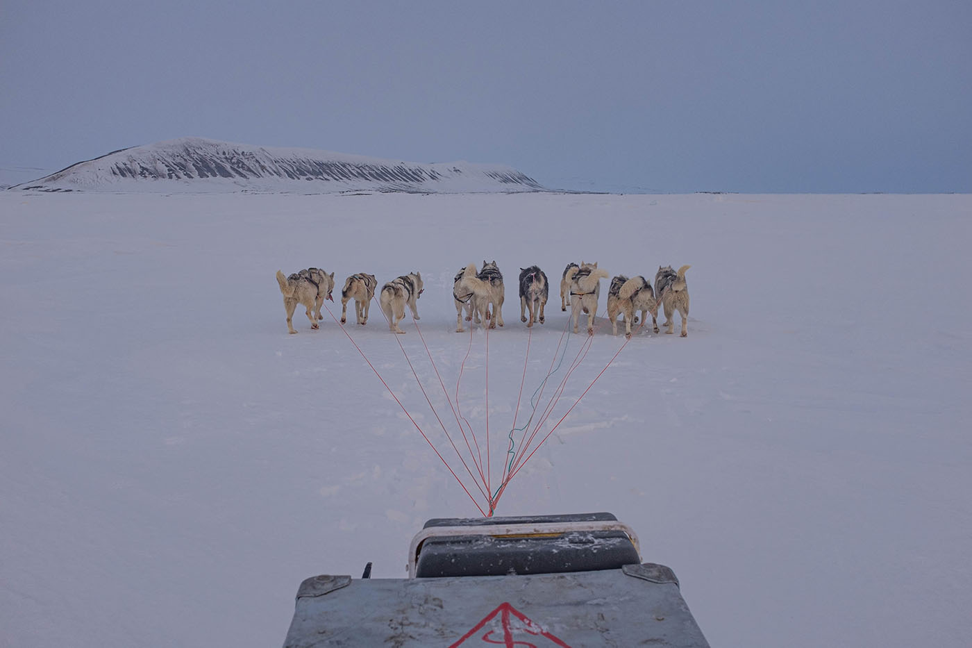
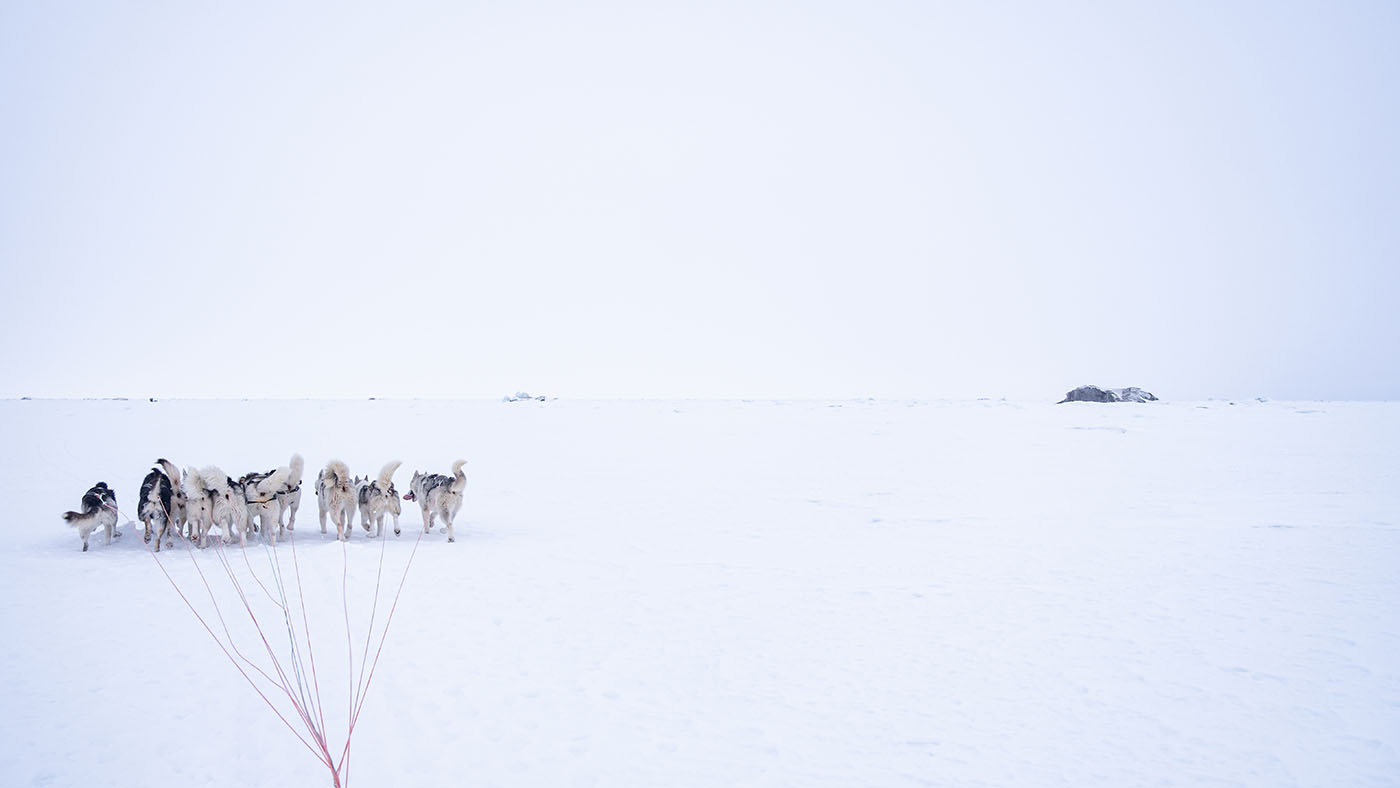
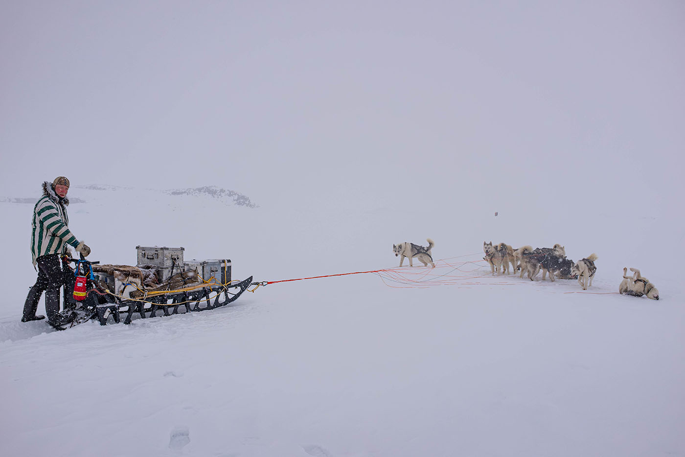
some of the 21 dogs
Day 1:
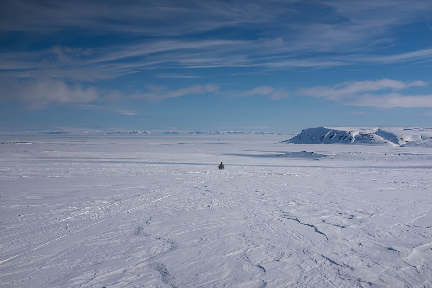
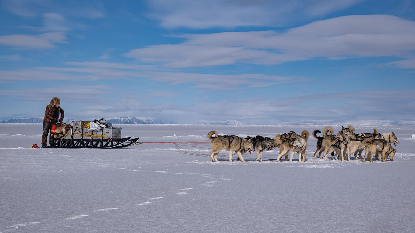
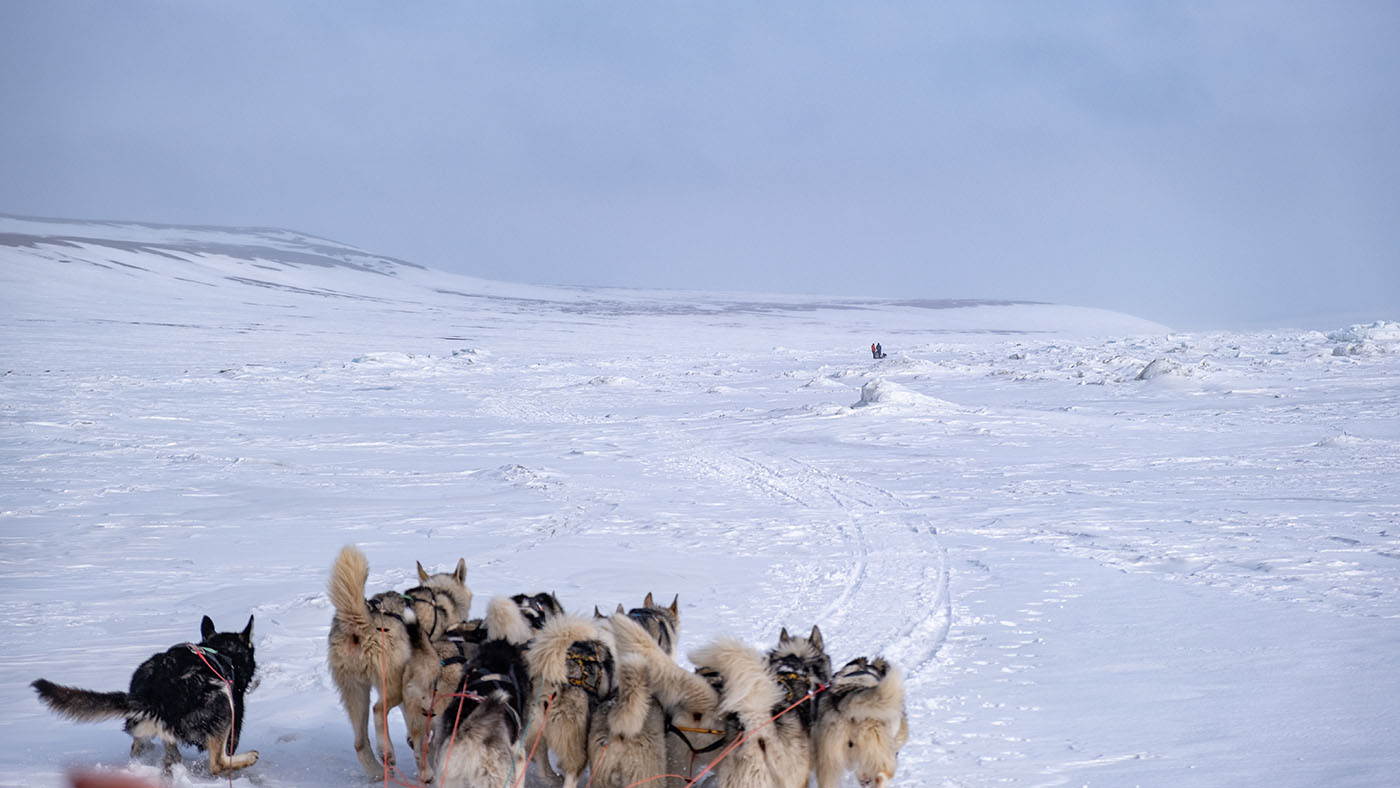
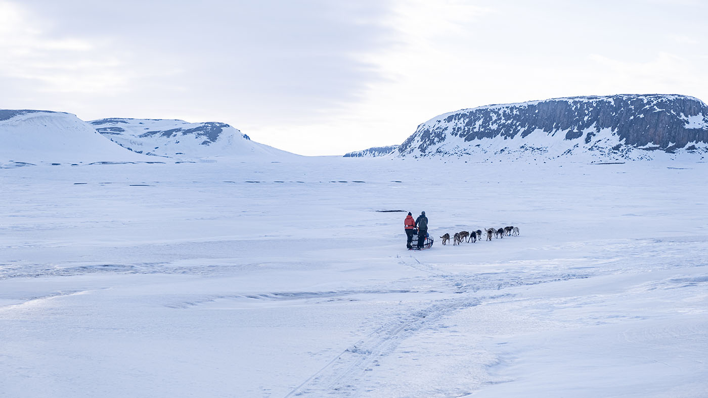
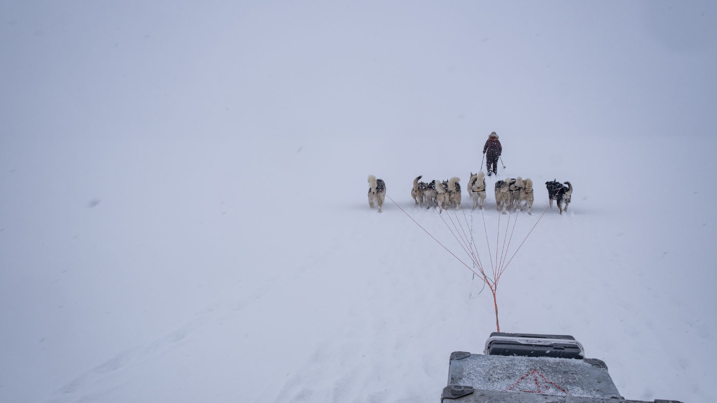
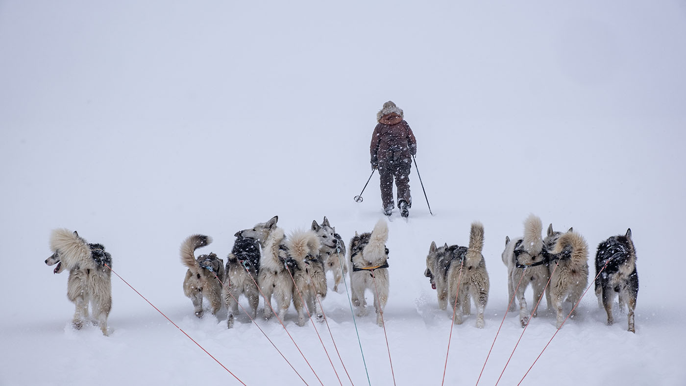
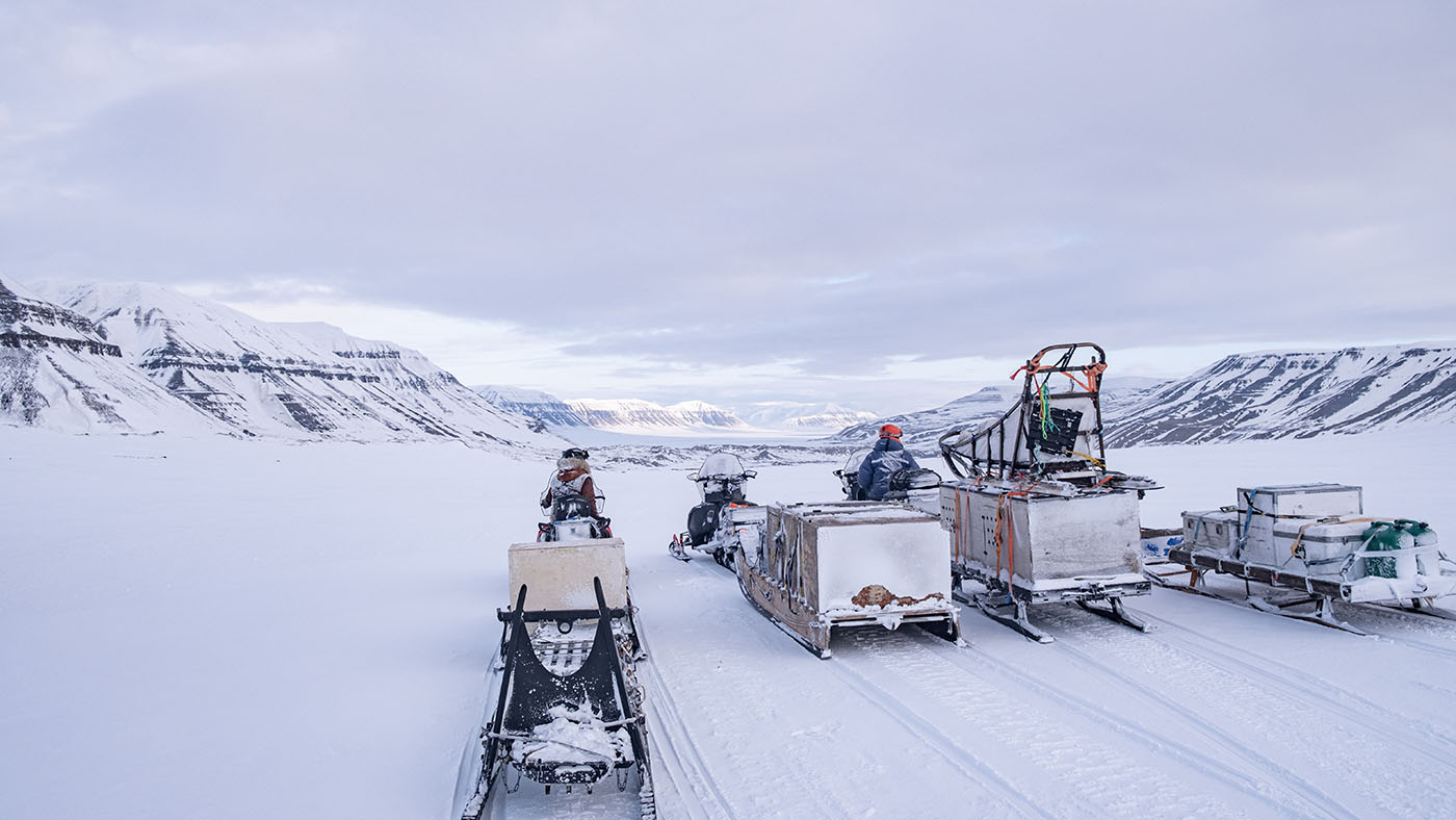
The Crossing Of The Stor Fjord starts on westside of Spitsbergen in Mohnbukta
55 km track over the ice to west side of Freeman Sound
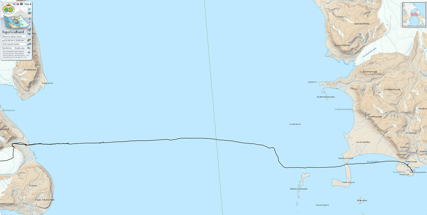
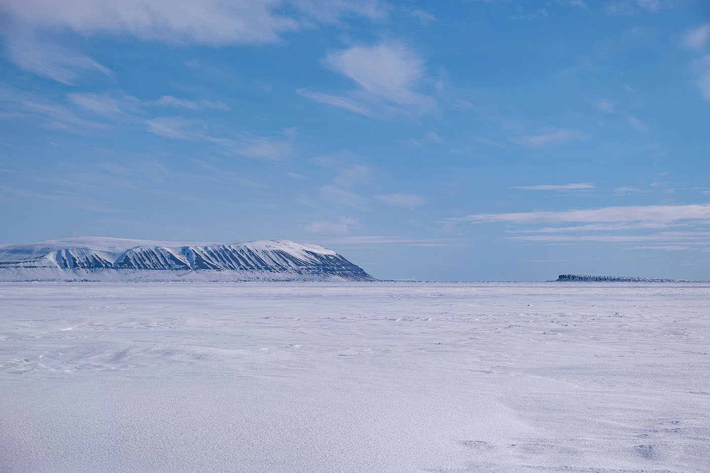
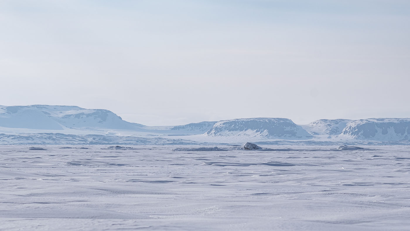
Barents Island left, Freeman Sound in the midle and Edgeøya right
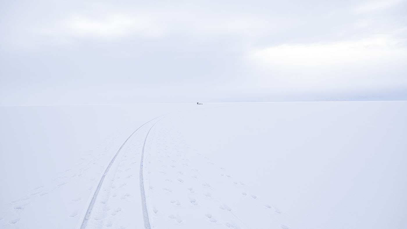
flat is in the midle of Stor Fjord
Stor Fjord means "Big Fjord" - and it is!
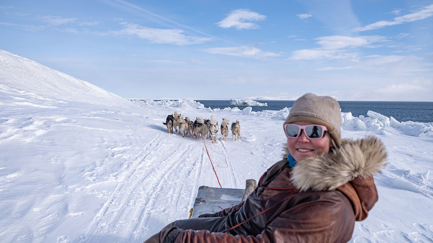
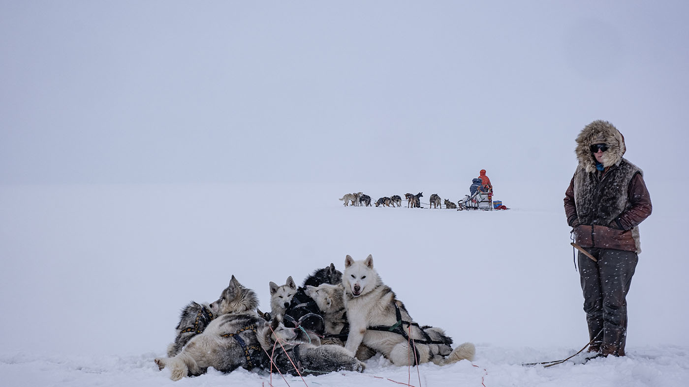
Break on Stor Fjord ice
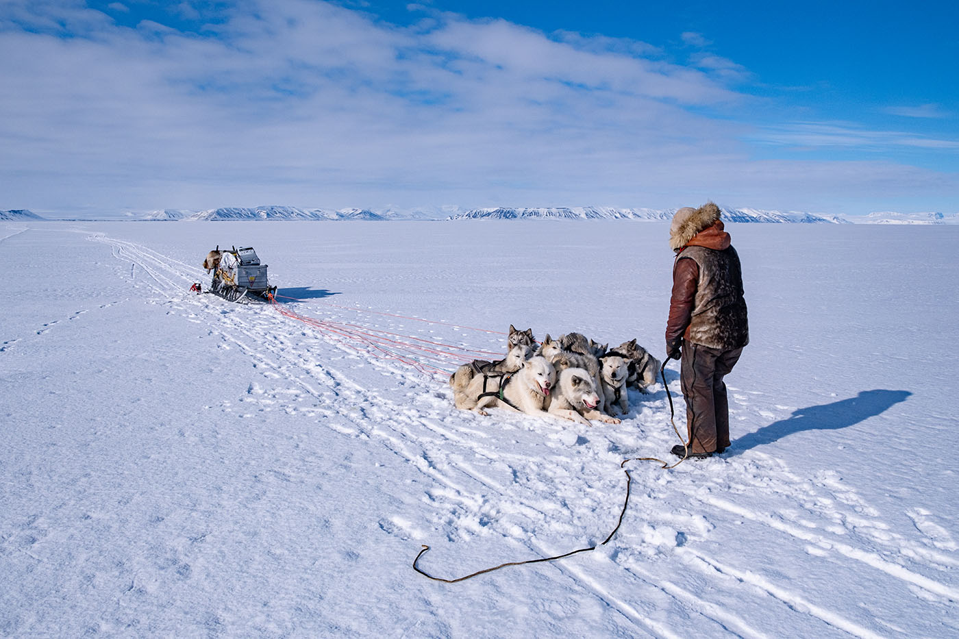
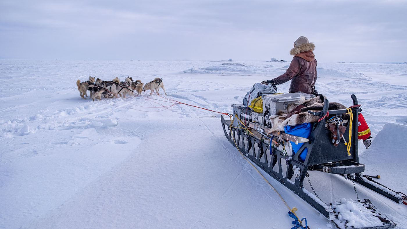
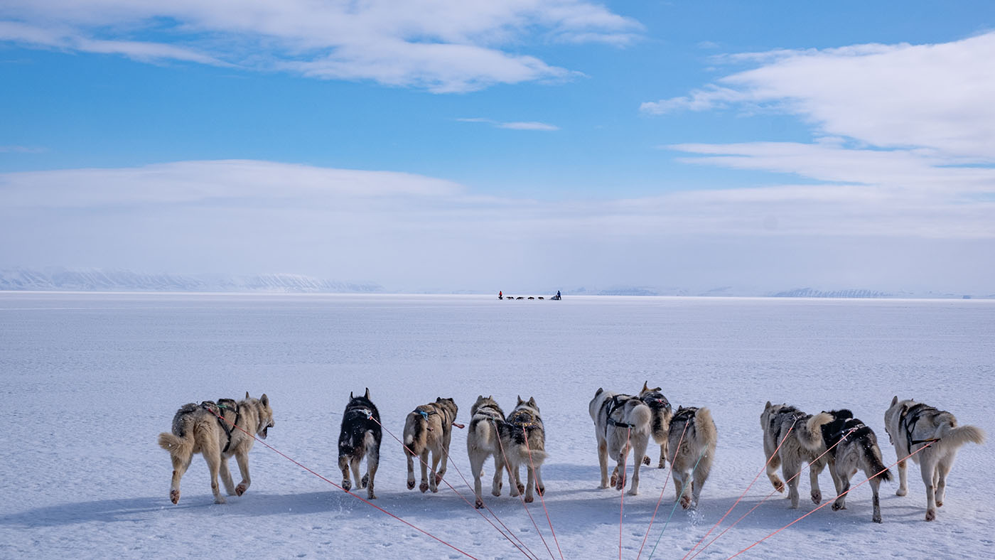
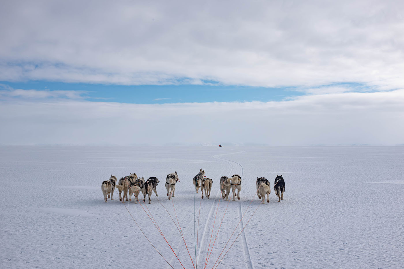
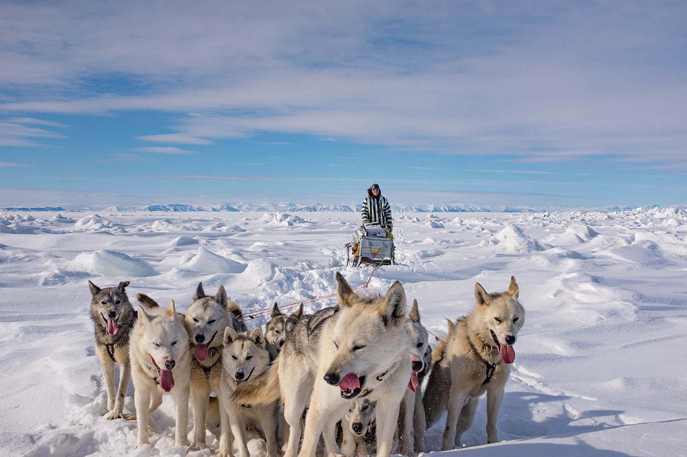
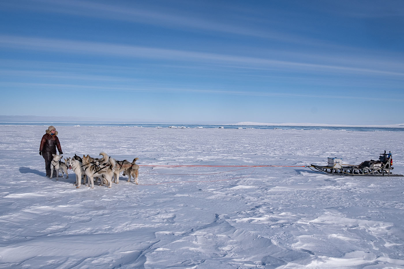
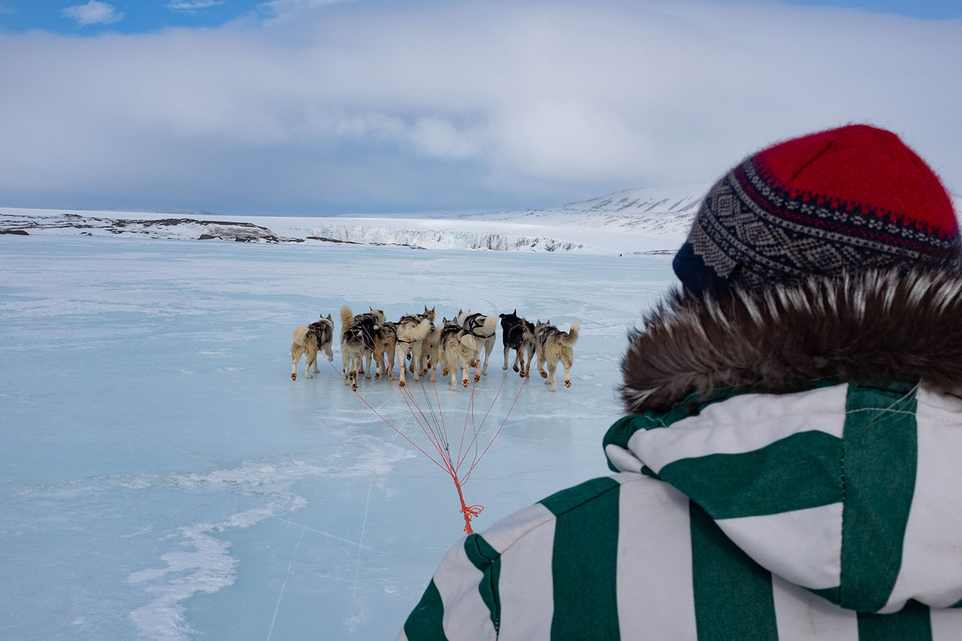
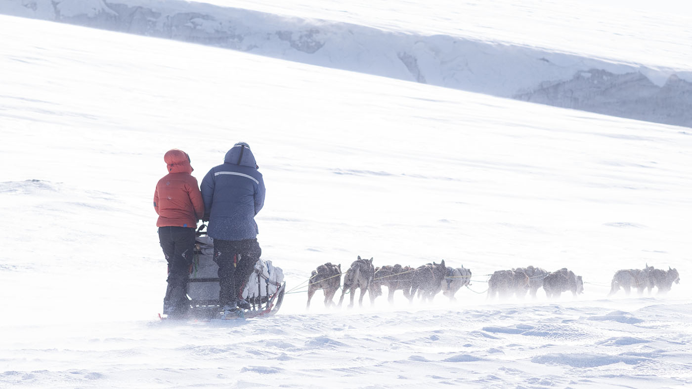
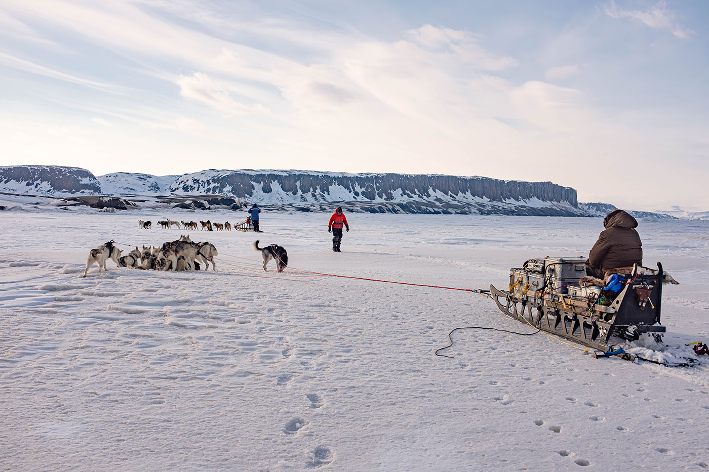
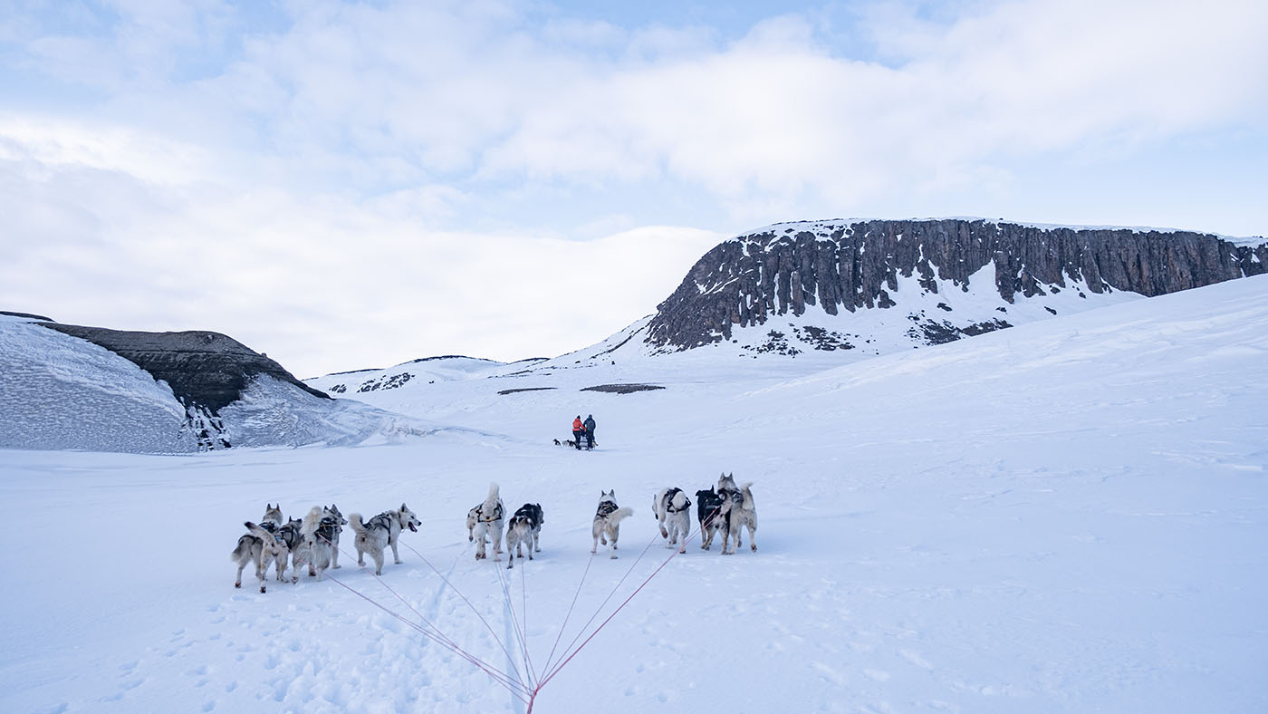
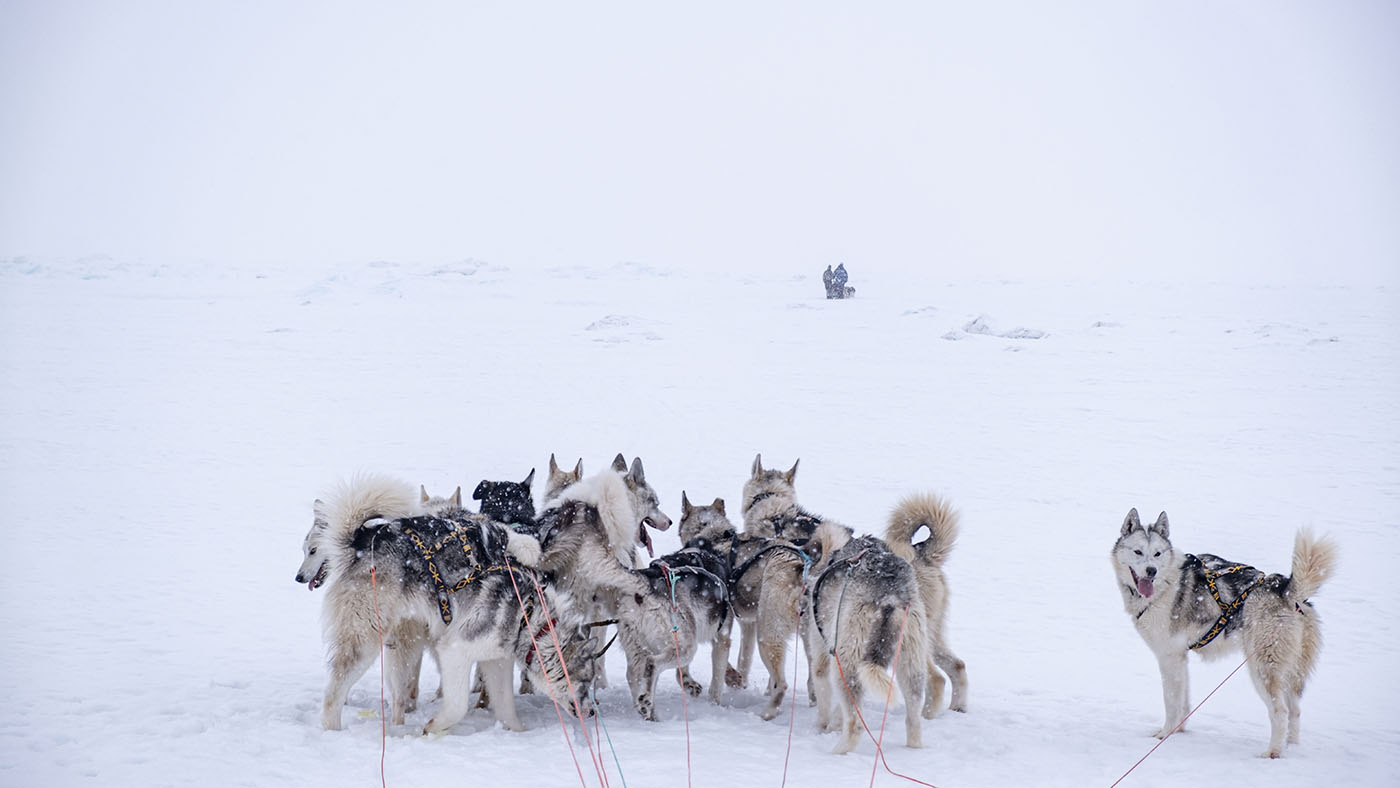
Ingvild & The Team
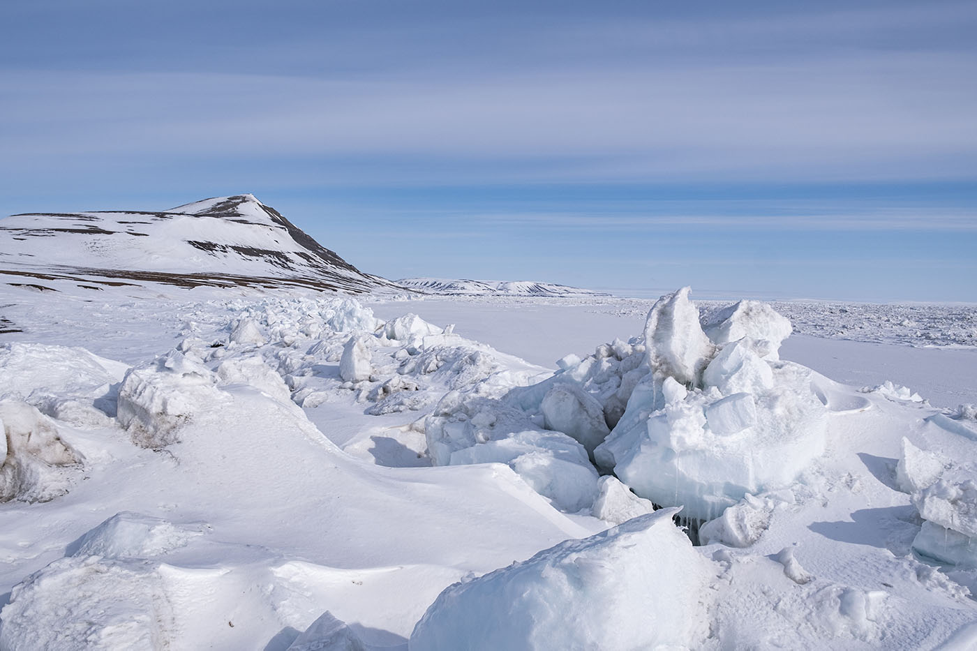
Getting in heavier ice east in Stor Fjord
The border between flat ice and packice
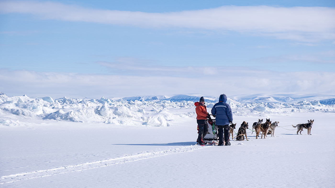
me finding a way in the packice
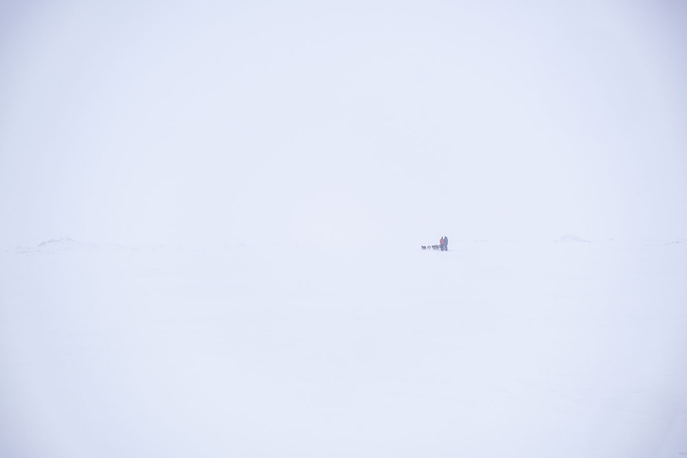
Spitsbergen in background
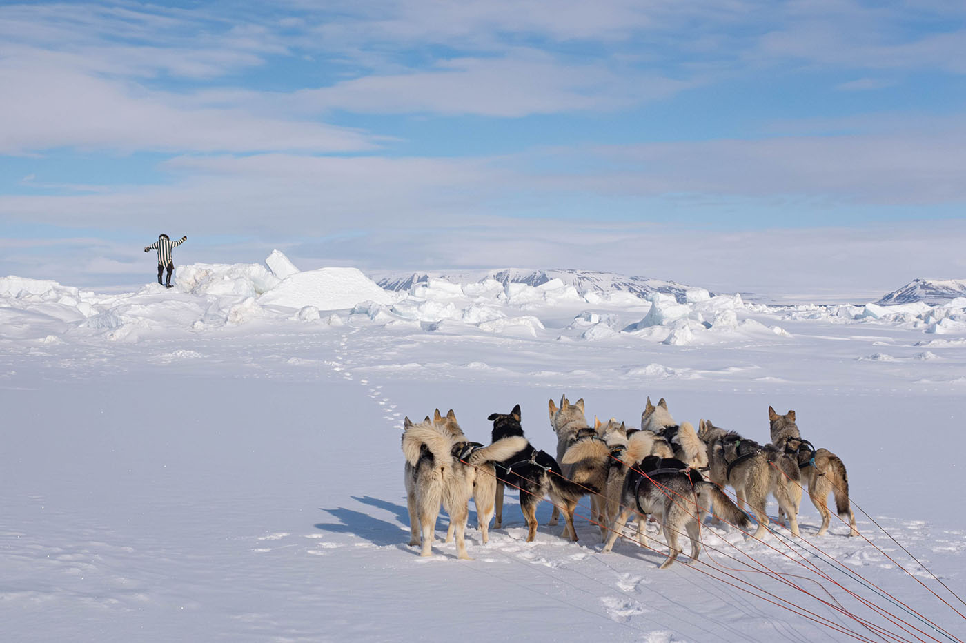
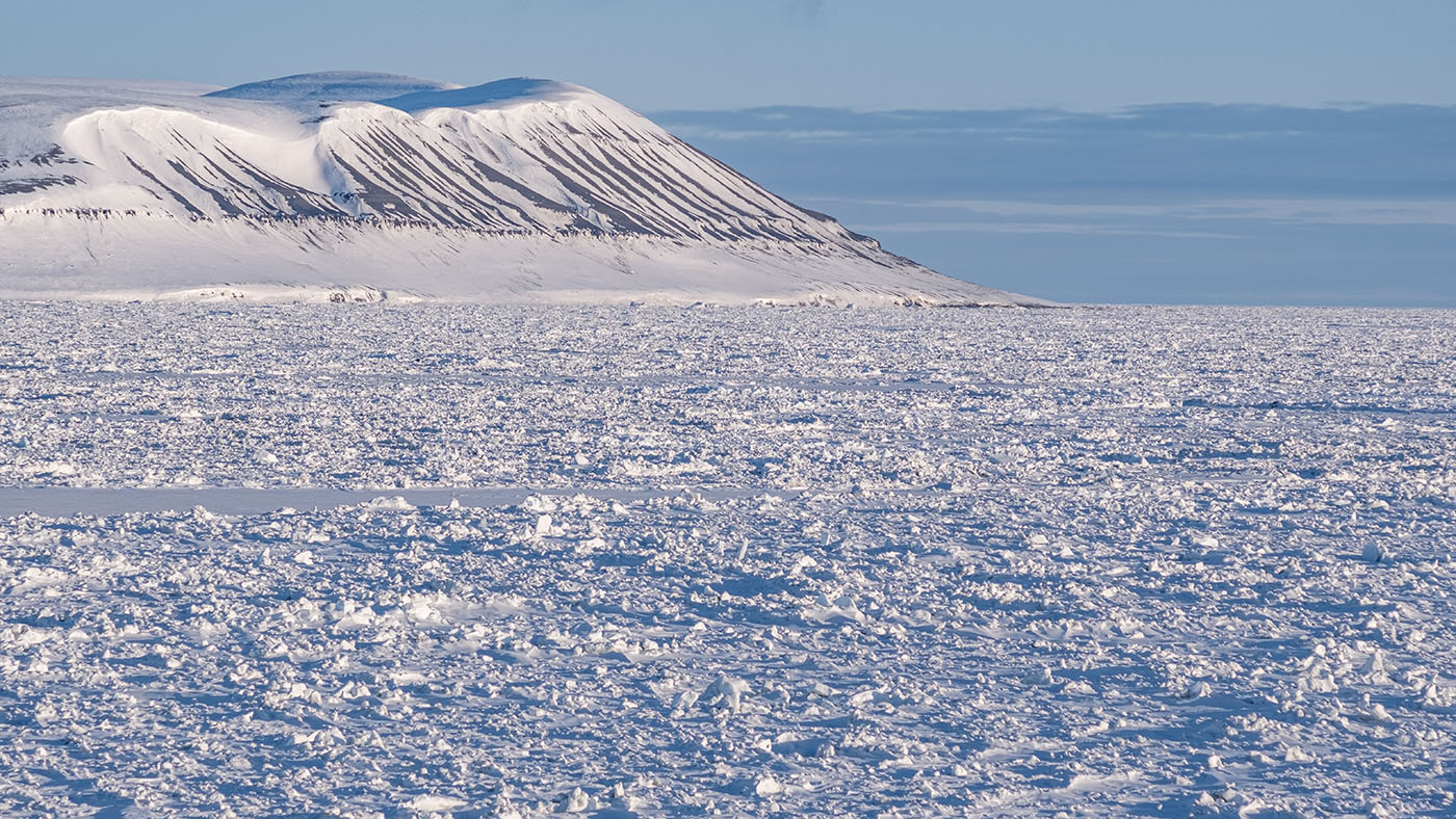
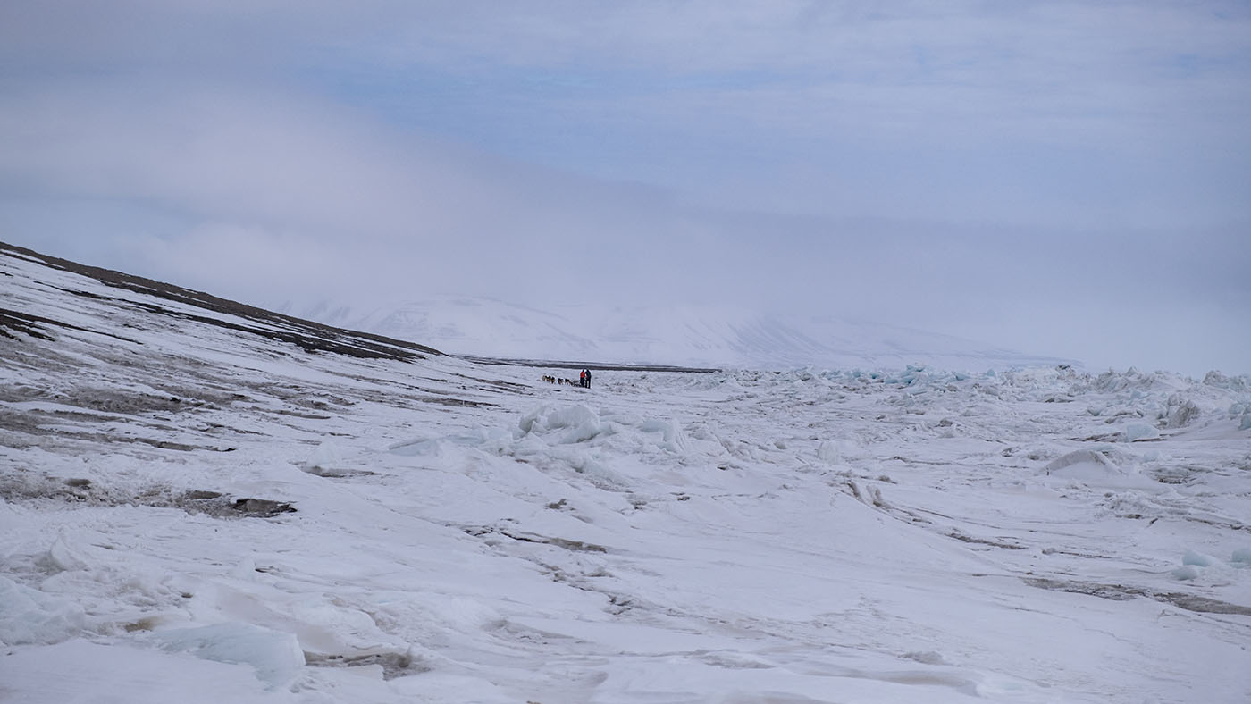
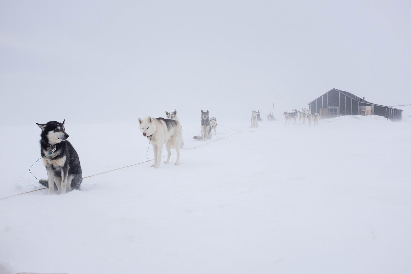
Barentsøya
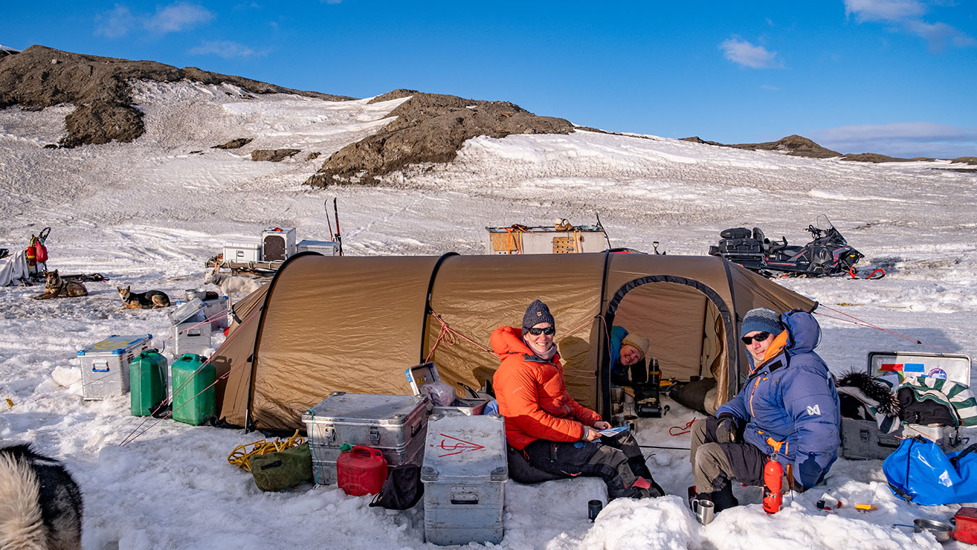
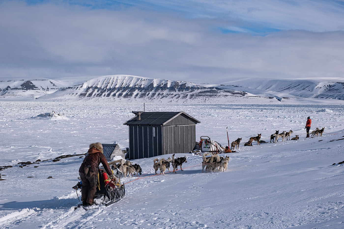
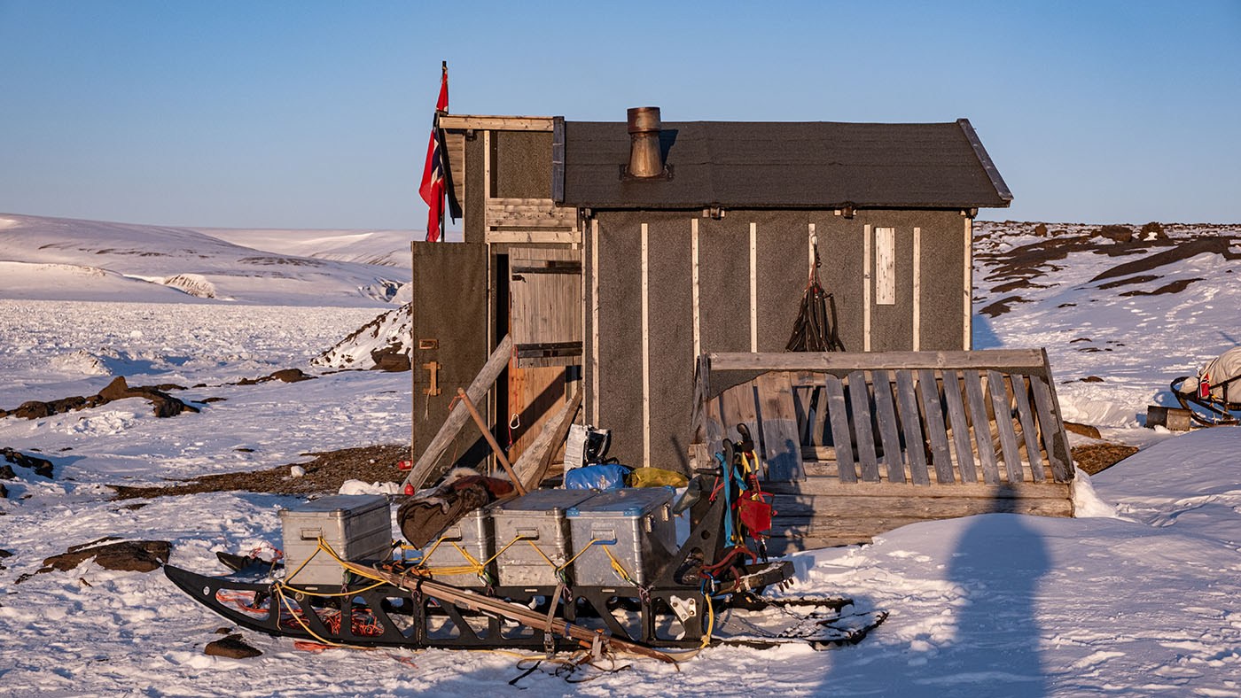
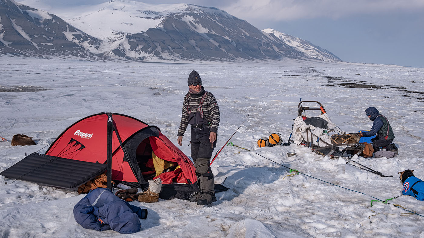
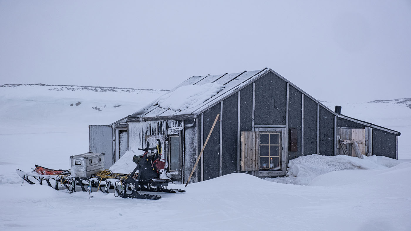
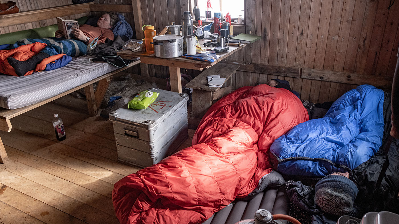
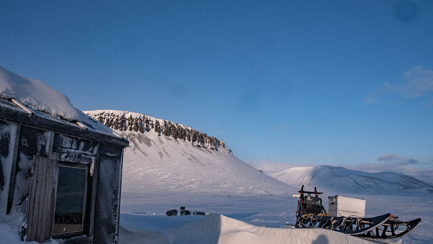
The first view of Würzburger cabin
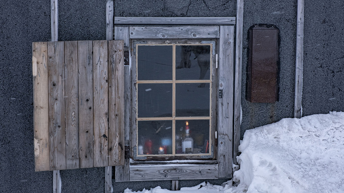
Würzburger cabin
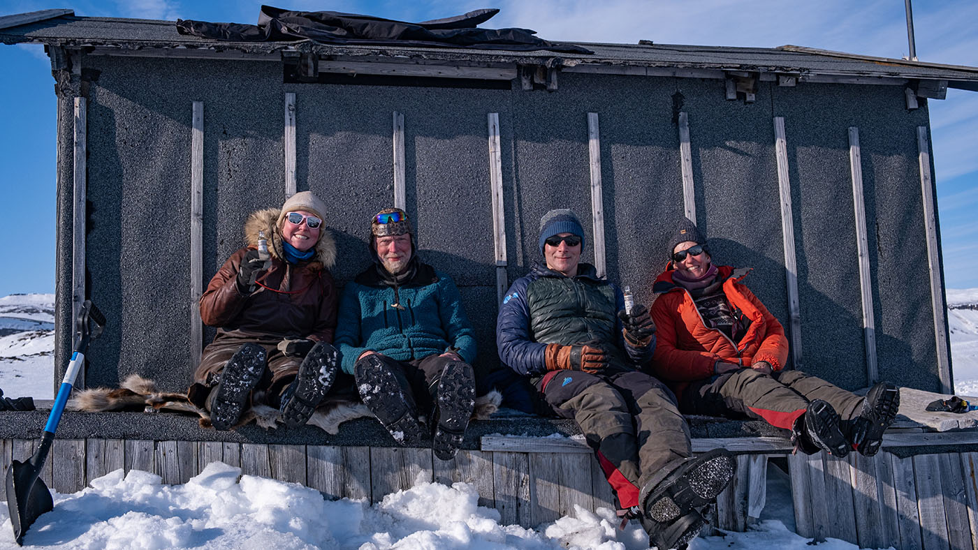
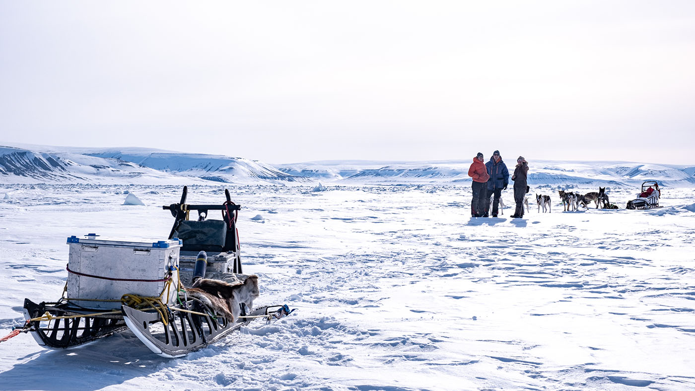
The Barents Island 2024 crew
Looking east into Freeman Sound
Freeman Sound to east
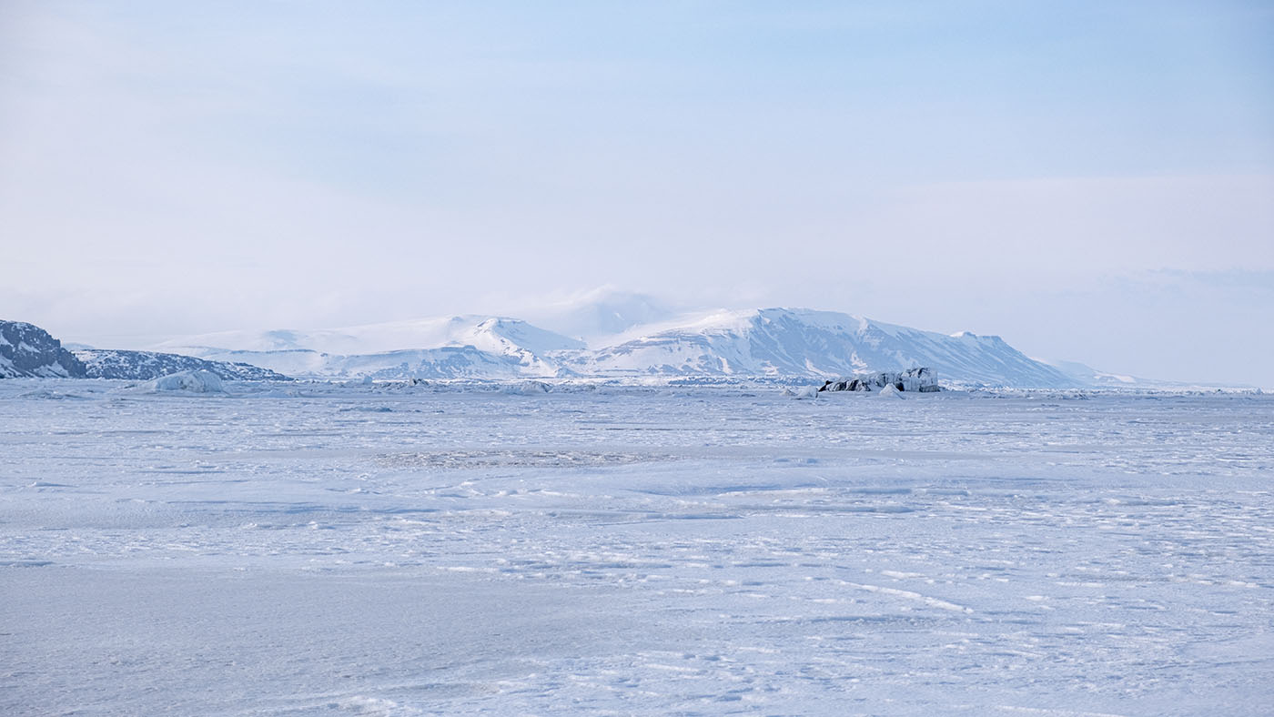
Kapp Lee, Edgeøya on the other side of Freeman Sound
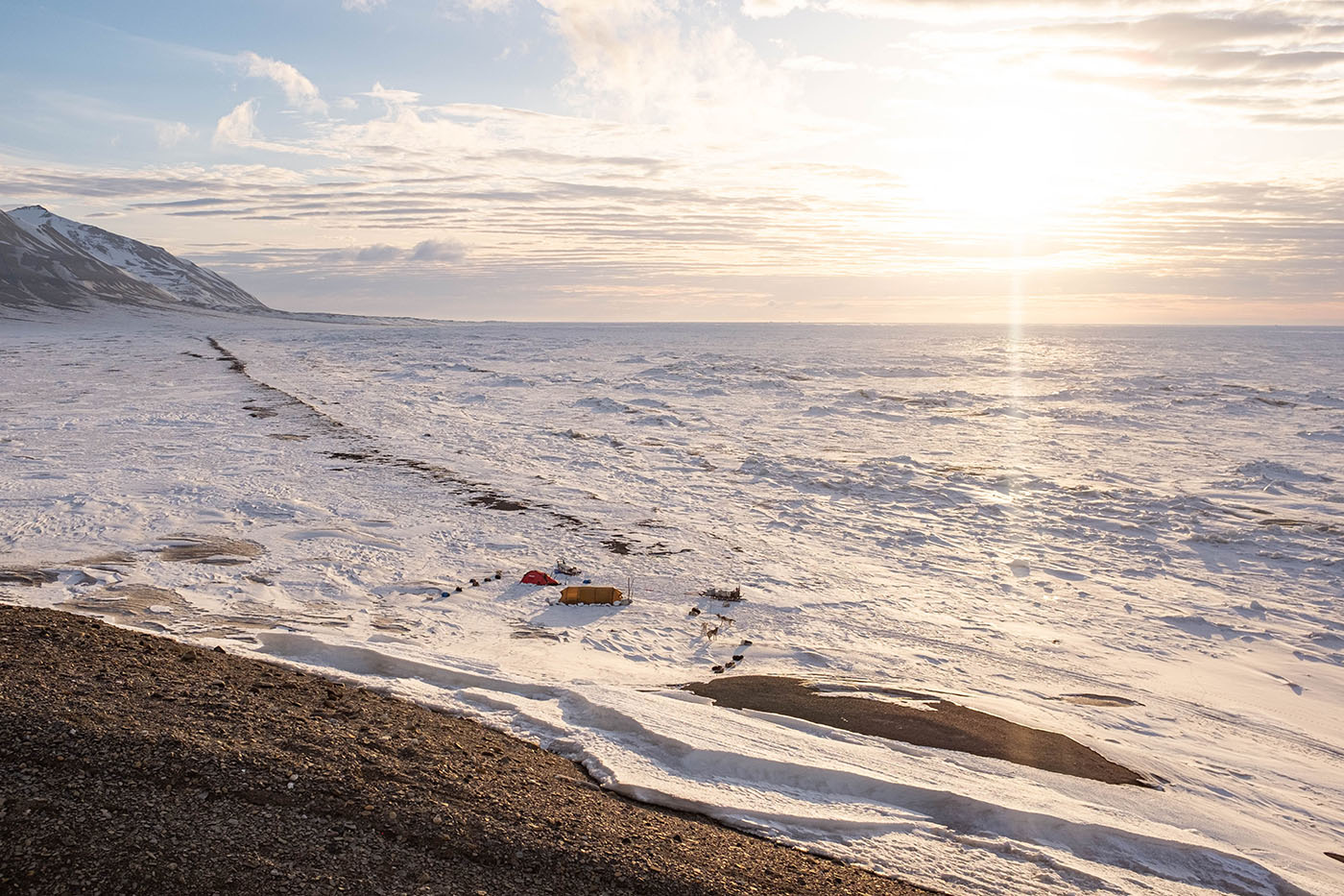
our home for two nights: Würzburger cabin
Day 2:
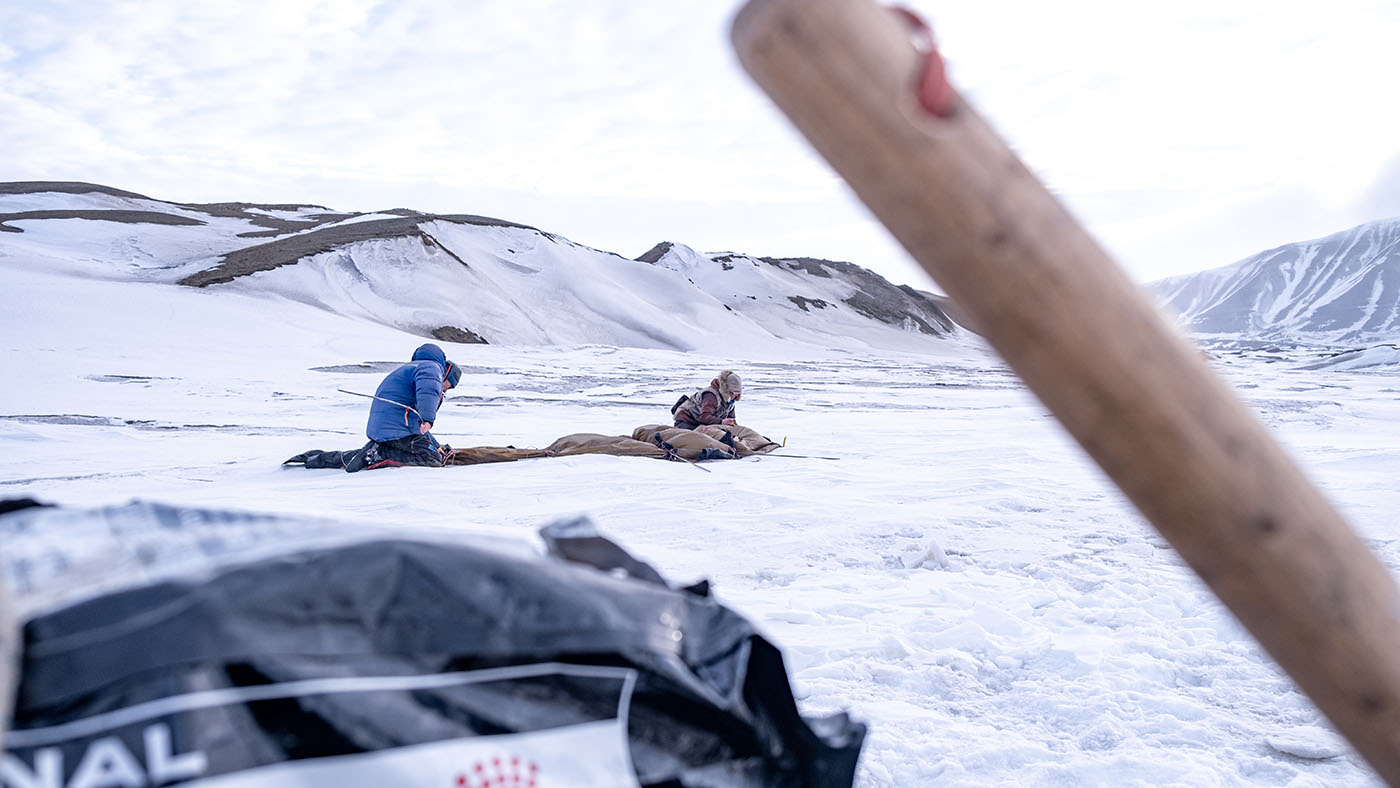
Rectour to the East
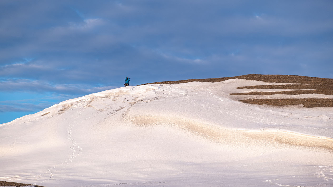
Since the Freeman Sound was packed with impassable ice and we had to go around Cape Waldeburg to get around, we needed a rec-tour with light sleds to check if it was possible to get to the East Coast. For me, perhaps the best day of the trip (the reason comes on day 3)
We had to round this place: Cape Waldeburg
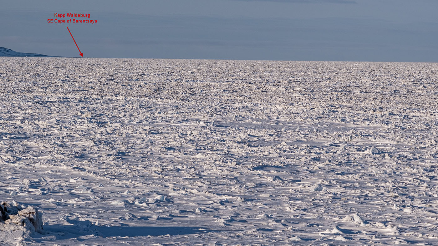
One week old Radar SatPix indicate open water out there
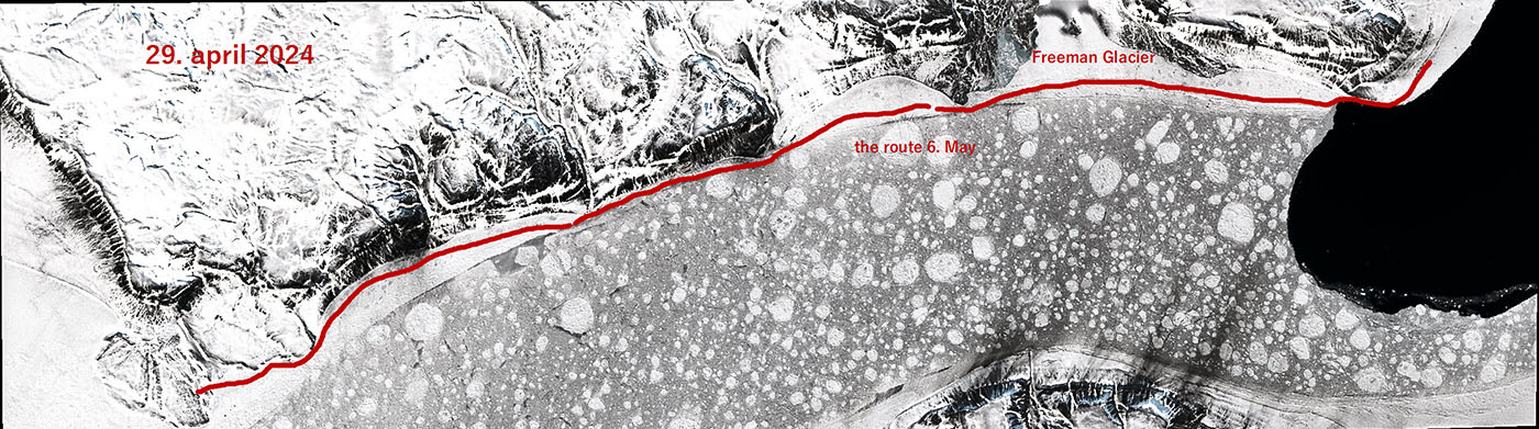
The rec-tour track
Easy start from Würzburger
Heavy packed ice along the shore
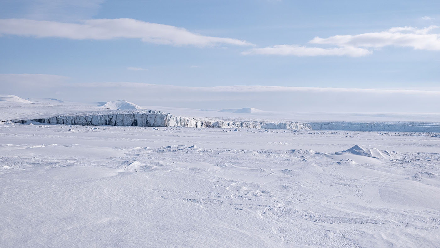
The front of Freeman Glacier
Almost out at Cape Waldburg
The East cost of Barentsøya
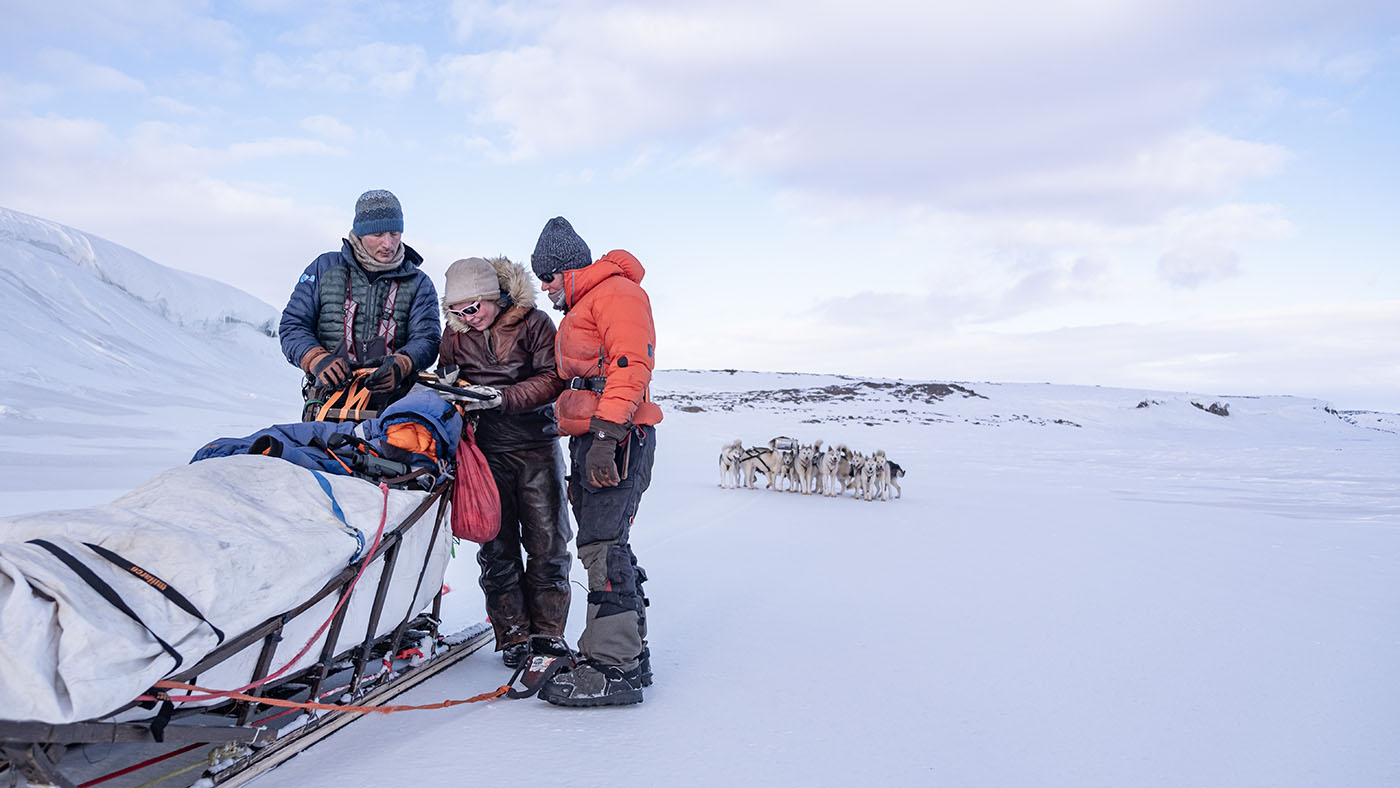
discussing an other way back
... we will try Freemann Glacier route

Day 3:
The East Coast (1)
Now we are ready for the East Coast! We was initially thinking of taking the entire east side all the way up to the Frankenhalvøya (80-90 Km) in a long day with the possibility of camping if it was too far. - There was a camp in the bear country:
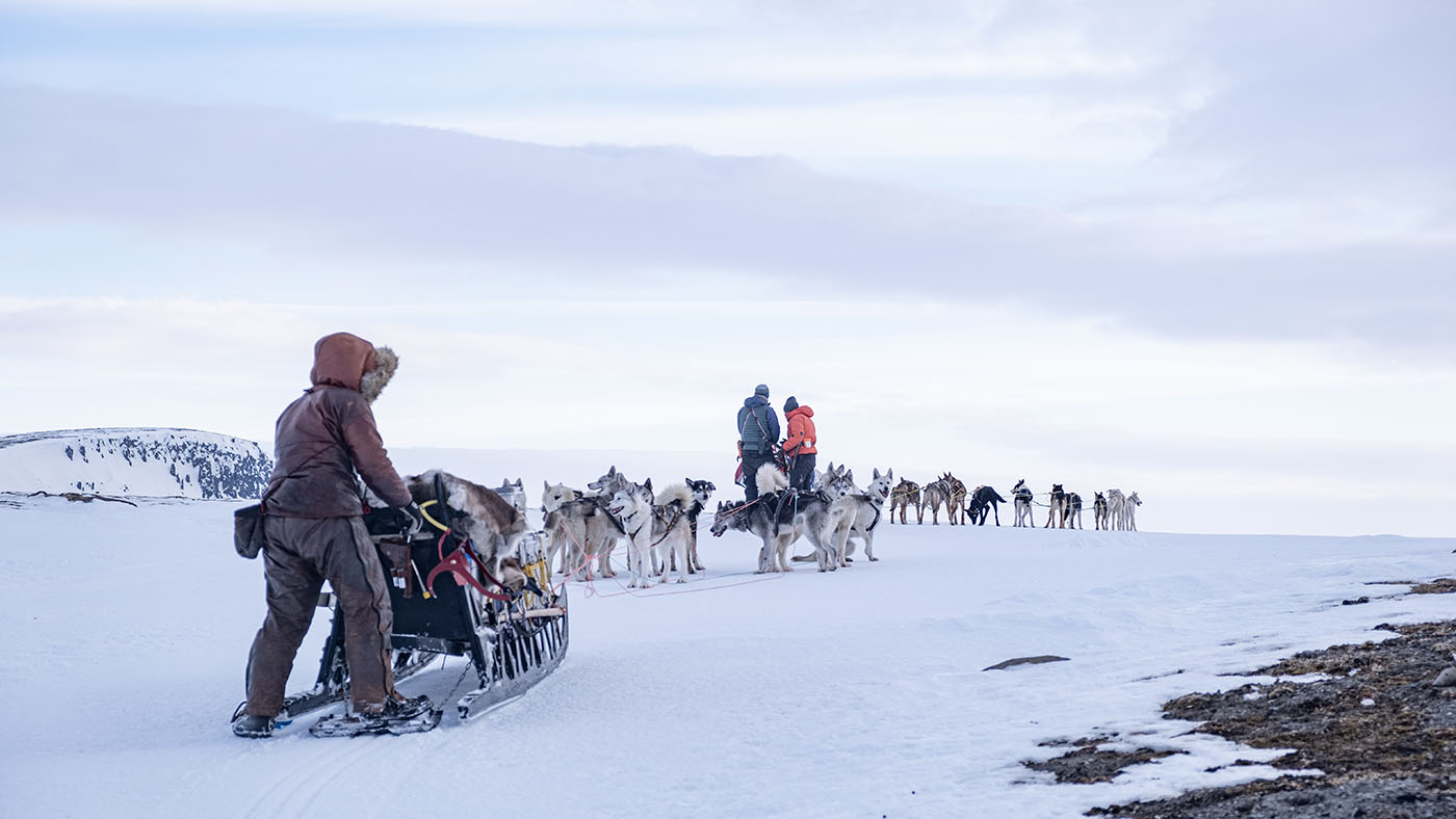
Leaving Würzburger
Icefoot in Freeman Sound
some part was very easy to move on
freshwater in front of Freeman Glacier
almost at Cape Waldburg
the icefoot at Cape Waldburg
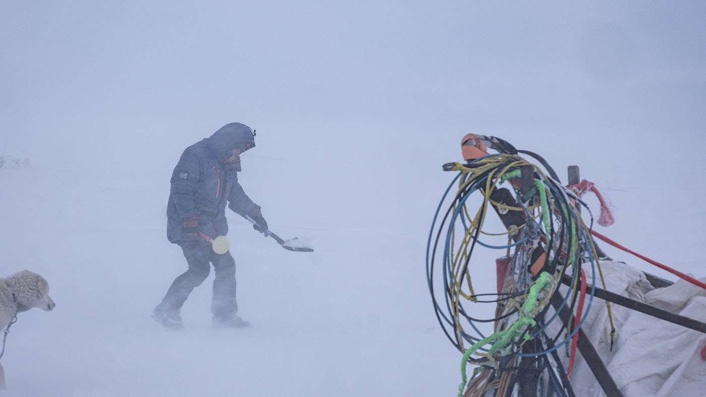
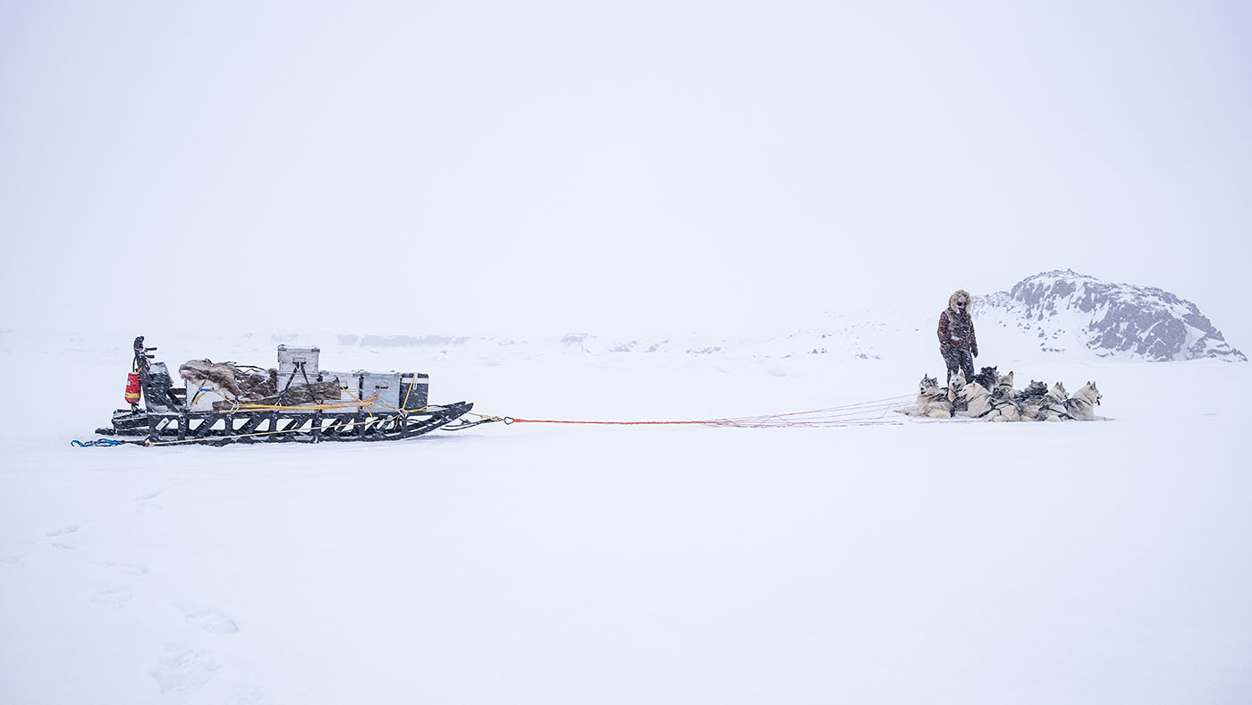
picking up firewood depot from the rec-tour
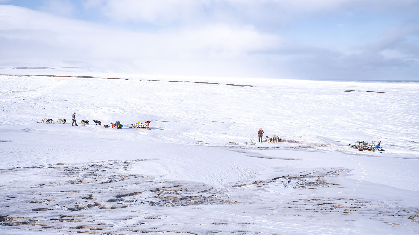
lunch
Within half an hour all crap on this tour happend. It started with the sled got into cracks in the icefoot several times
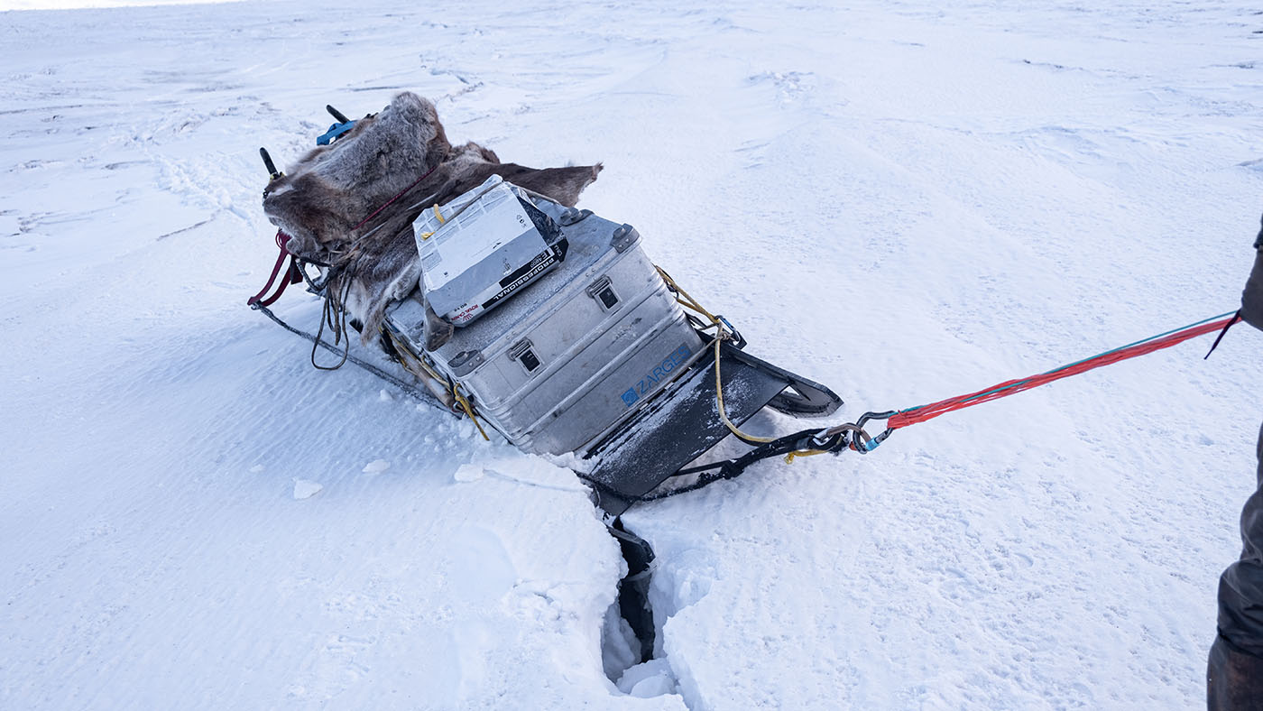
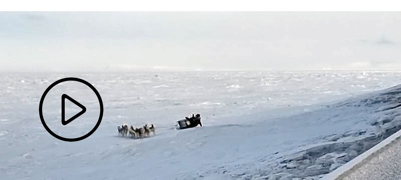
then the sled turned over. No big deal here...
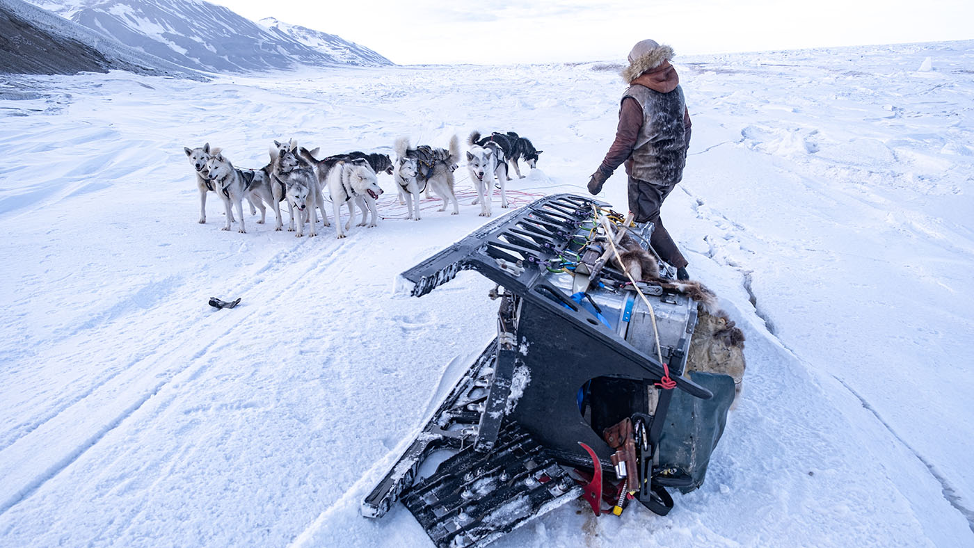
So we got a second tipover. Tina got it on teip: I was thrown from the sled and hit an ice cube with all my weight on my left kidney. I could not move and was in great pain
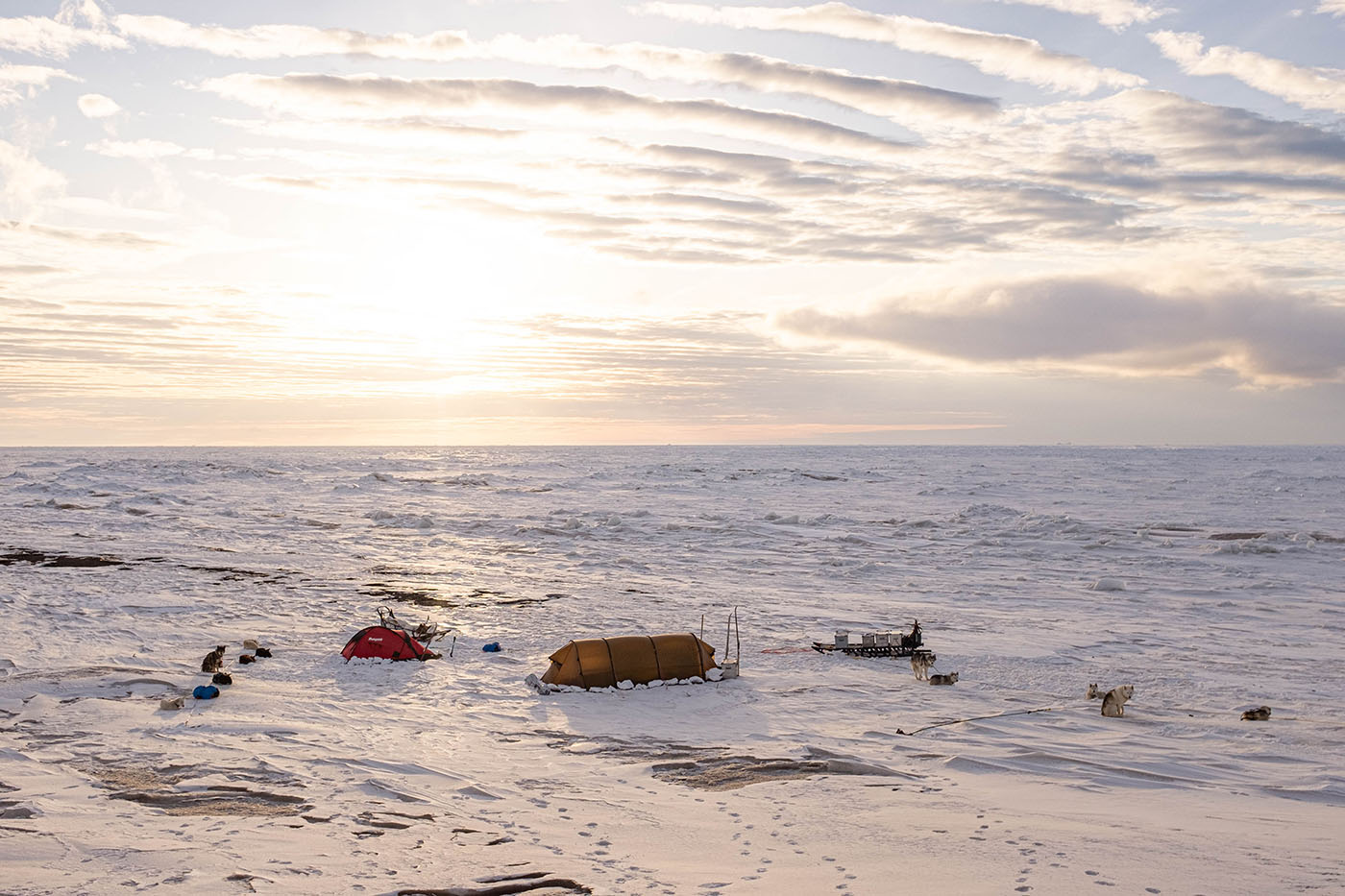
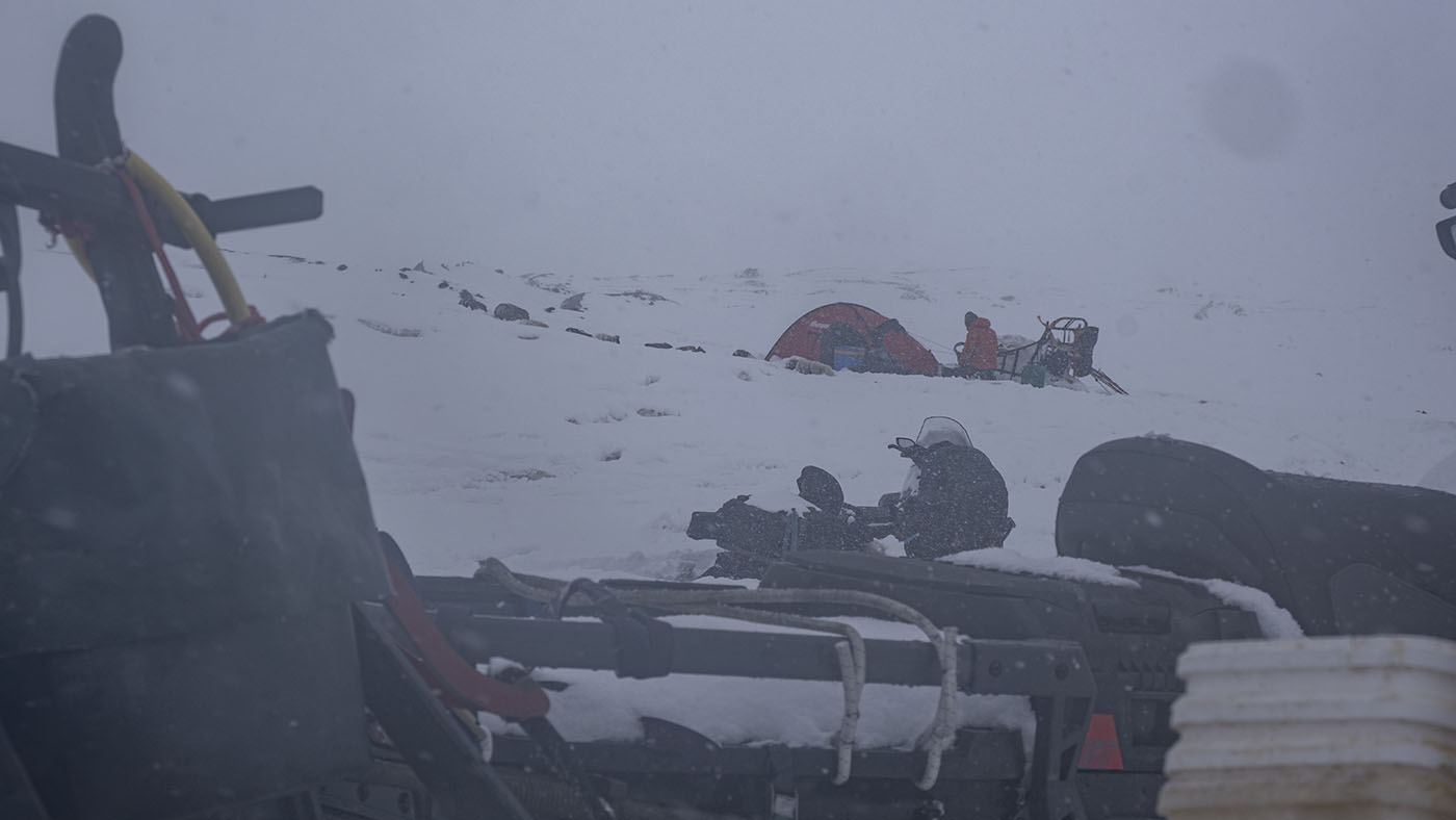
Marcos, Tina and Ingvild had to set up an emergency camp in the middle of the bear country about halfway on the east coast and got me inside the tent. Very strong wind from the glacier made it difficult
View north on the east coast (Ritterflya) with M&T's tent
The tent was barely set up when a bear came towards the tent which Marcos scared away. When he got inside the tent, the stove caught fire and the whole inner tent was full of flames and smoke
The question was whether I had suffered internal bleeding from the fall. In this case, Super Puma helicopter were probably the only way out
We made satphone contact with a doctor and the gang looked after me
Since we are in what we consider to be Svalbard's densest bear population, the three others organized a night watch of 3 hours each
Eventually it didn't look like internal bleeding and I took some strong painkillers
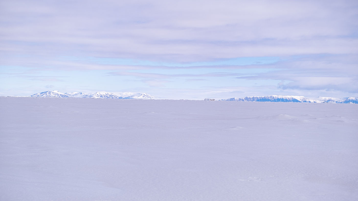
The question was whether I could continue the trip? Was going to decide on it the next morning. View: Olgastredet to east
Track for Day 3
Day 4:
The East Coast (2)
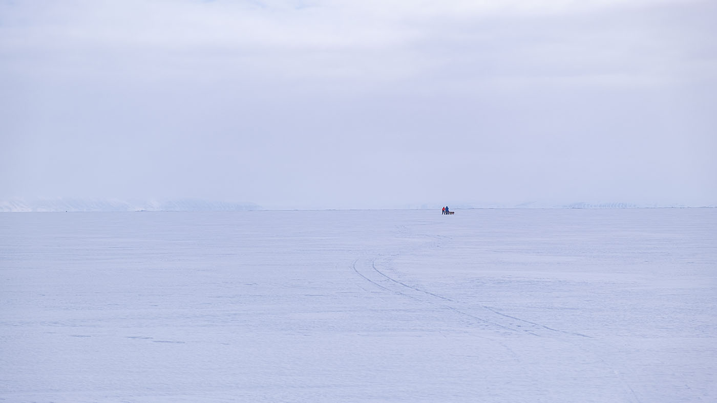
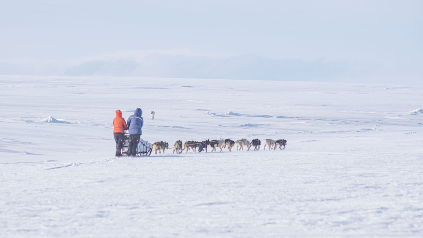
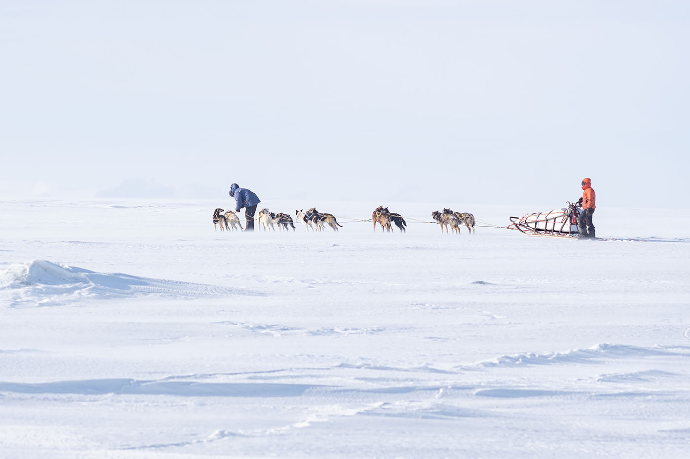
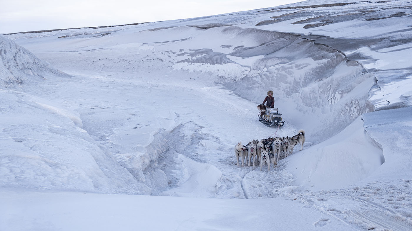
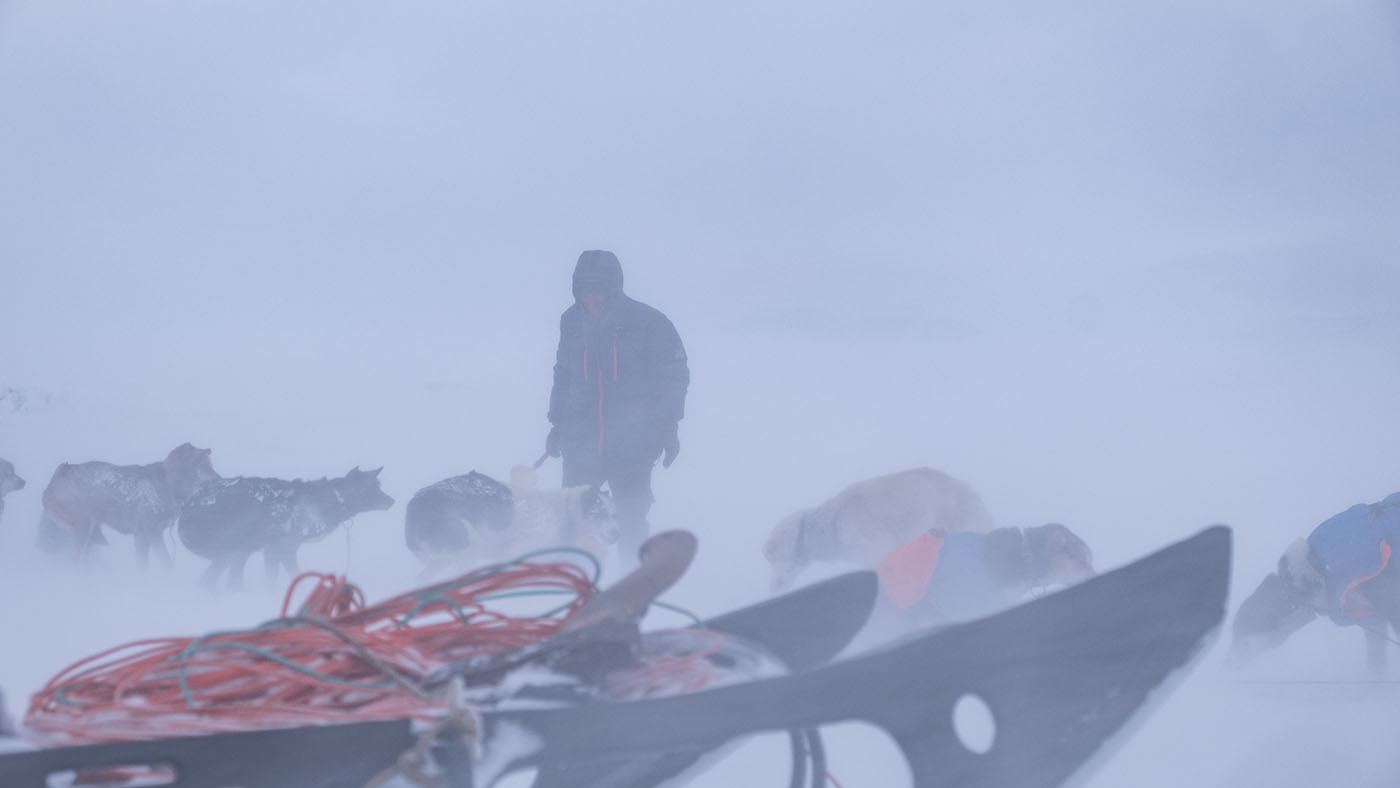
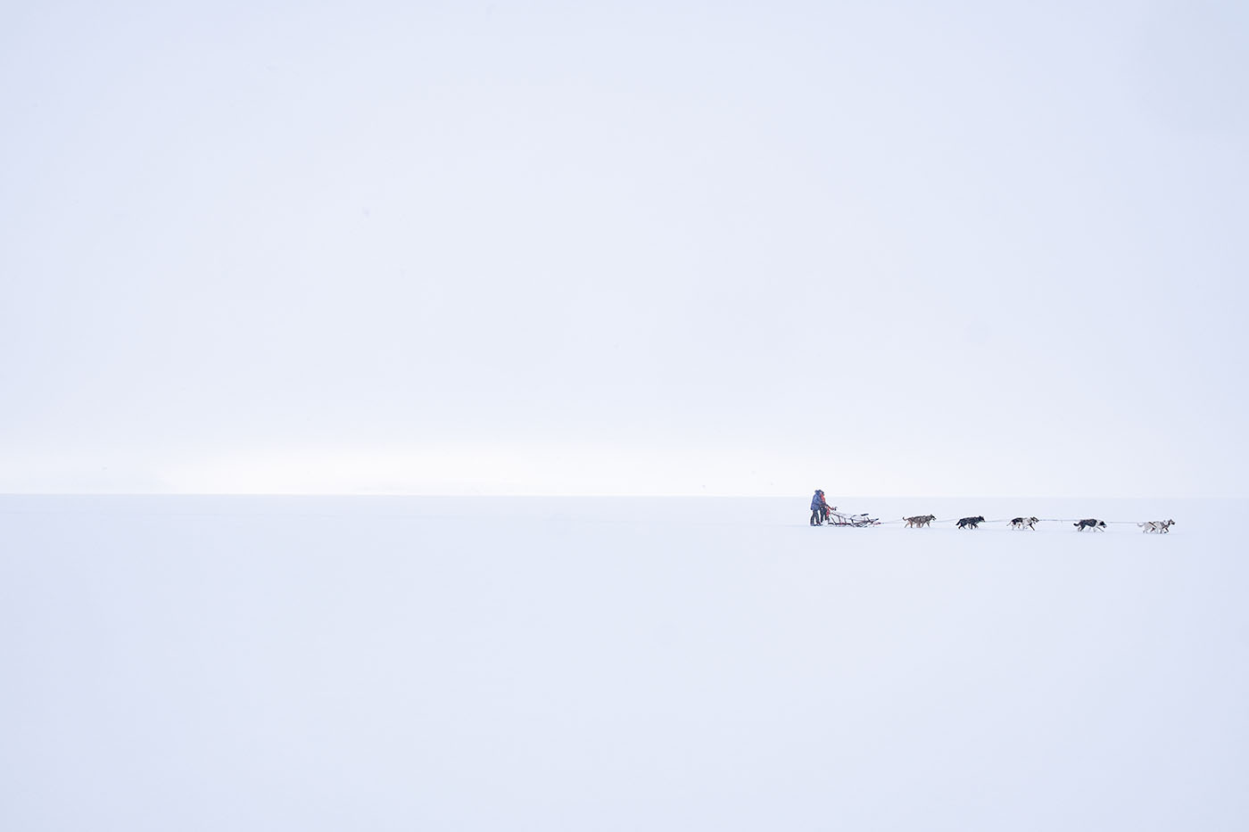
Moving on North at the East Coast
The night was painfull but I decided I could continue as a patient sitting on the sled. Leaving the emergency camp headding North over Ritterflya here
50 mg of morphine during the day sitting on the sled. The seaice east of Barentsøya here.
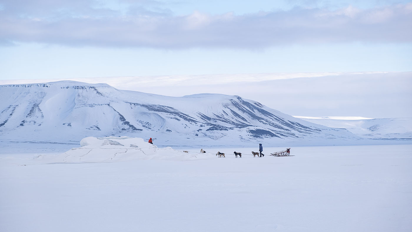
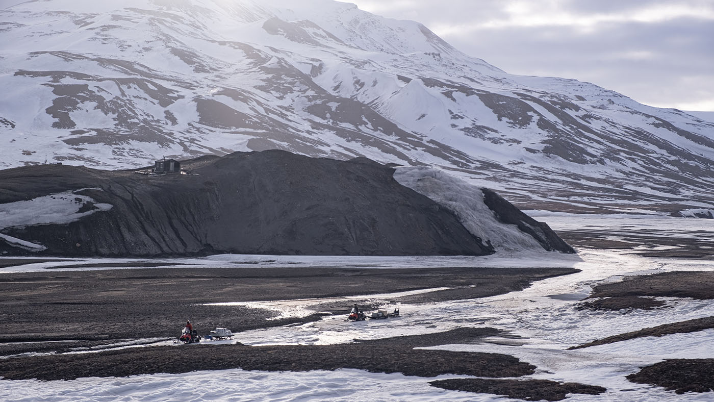
Crossing west into Dorstbukta. North side of Barentsøya
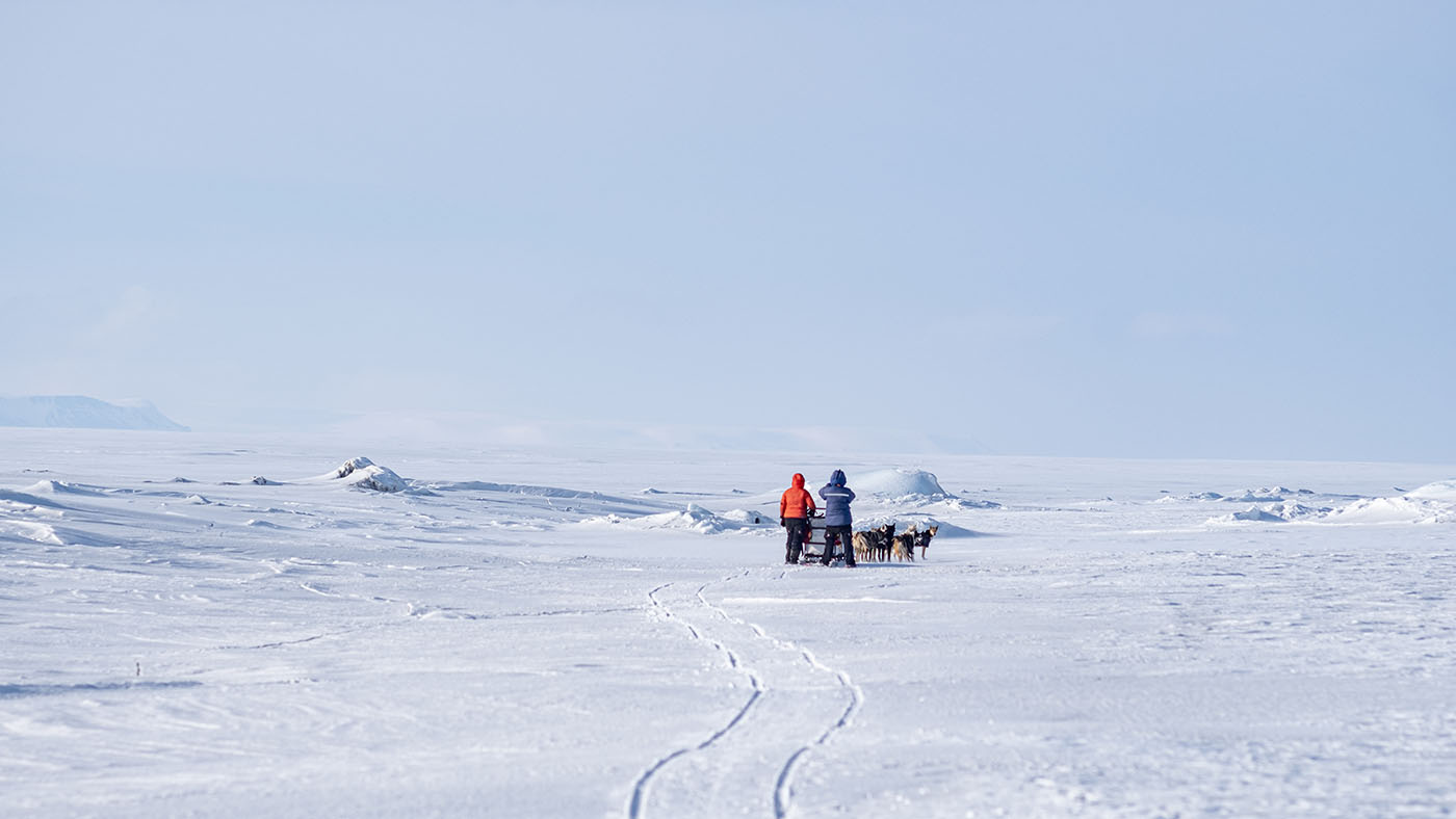
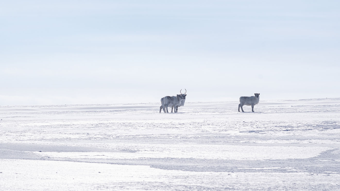
Plenty of reindeers at the SE and NW side! Here: Dorstbukta
Augne Glacier in background
Frankenpeninsula
Augnebreen
Frankenpeninsula
We had to find a way over Frankenpeninsula
A pass that we hope will bring us over Frankenpeninsula to the Heimland cabin
On the map everything is flat, but the terrain wasn't
Finding a way
not flat
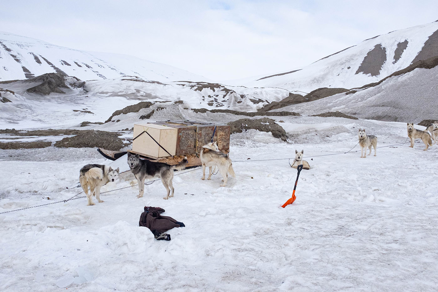
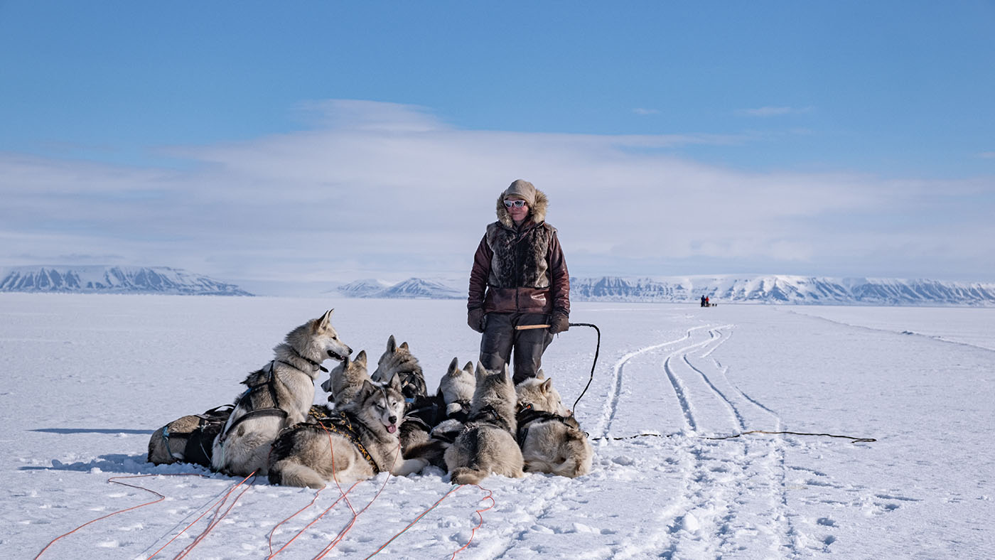
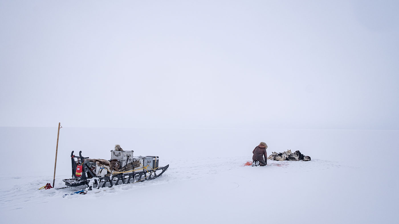
Getting down to seaice in Ginevrabotn. Marcos&Tina collect glacier ice for fresh water
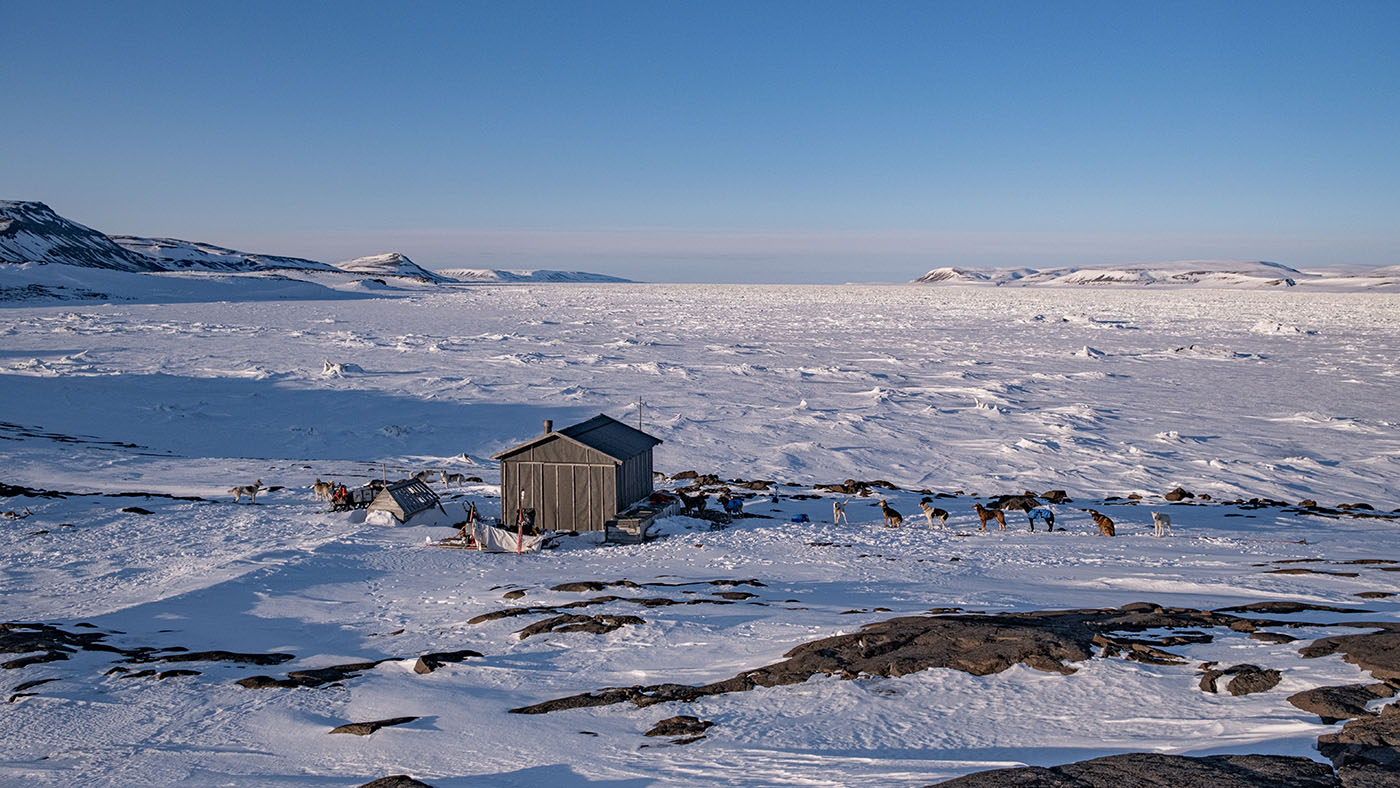
Heimland cabin
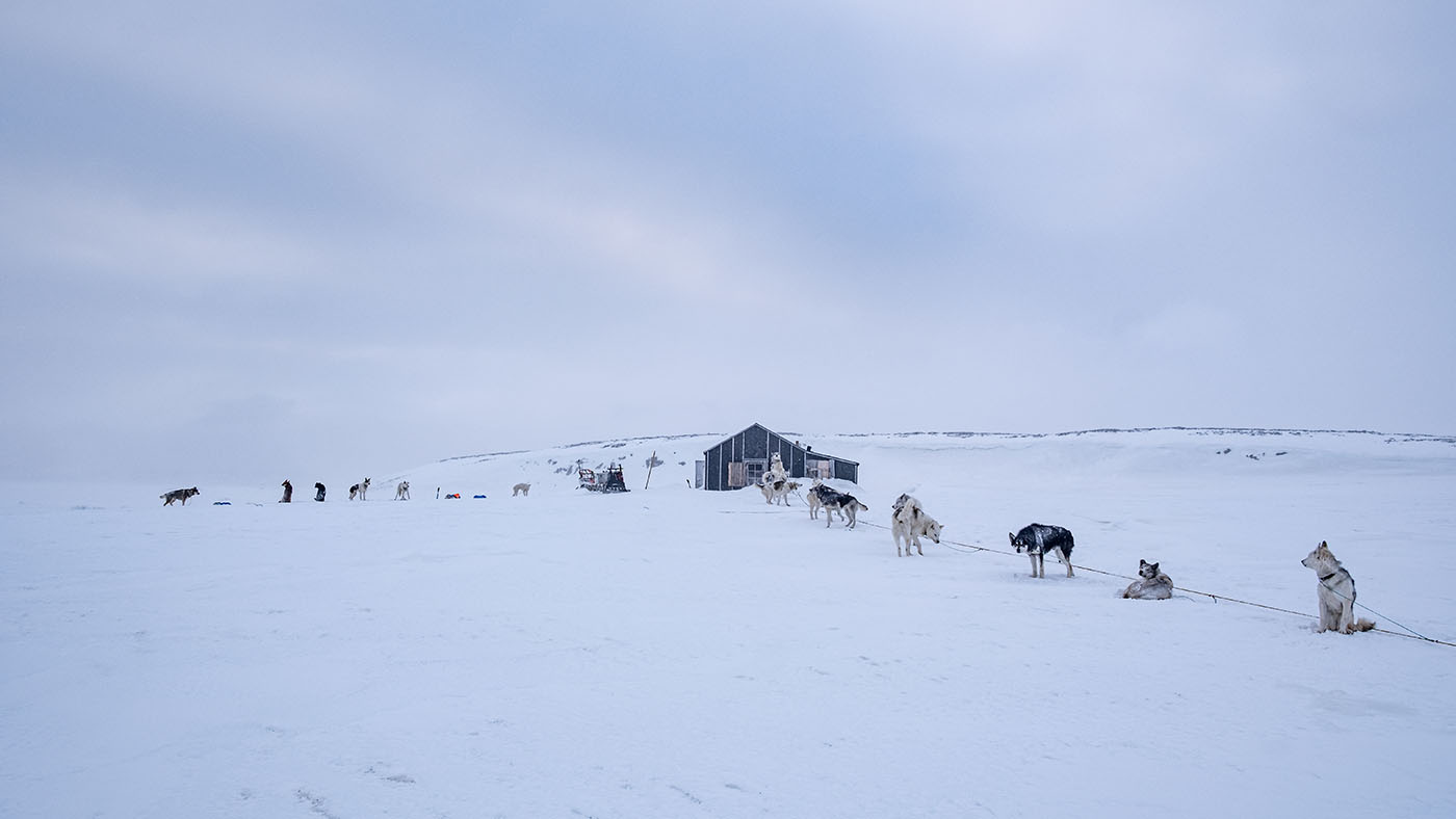
Heimland cabin

Heimland cabin
The track.
Thanx to Marcos, Tina and Ingvild who brought med save from the camp to the save cabin!
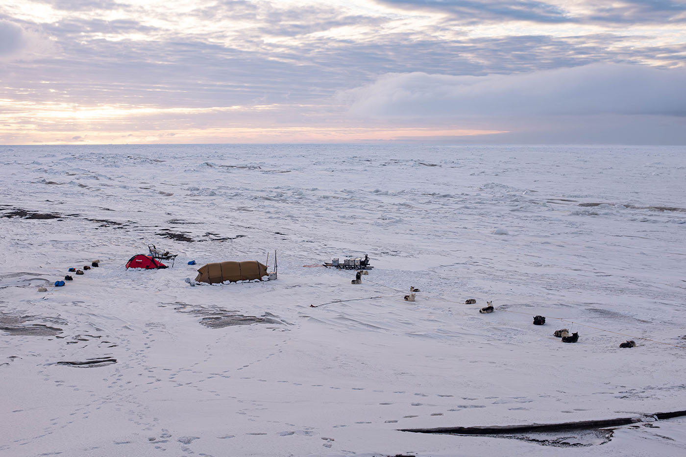
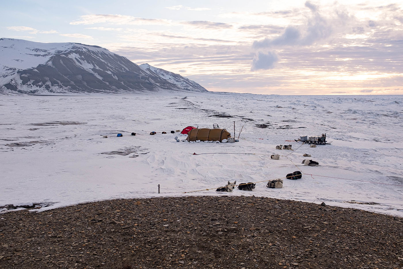
Day 5:
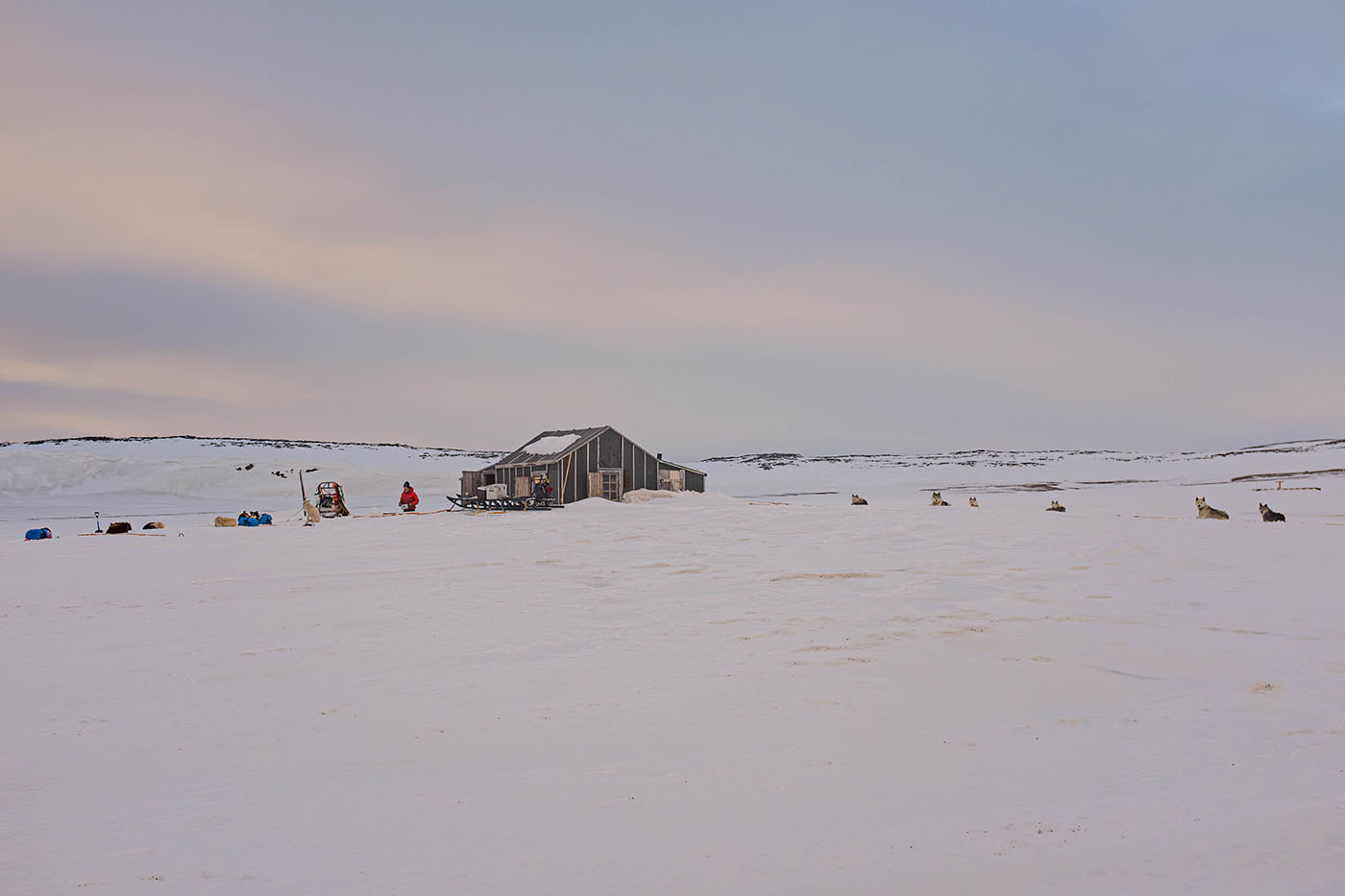
Heimland
Restitution & bad weather
My condition wasn't good. A lot of pain and eating painkillers. But the weather was bad and we needed a resting day anyway
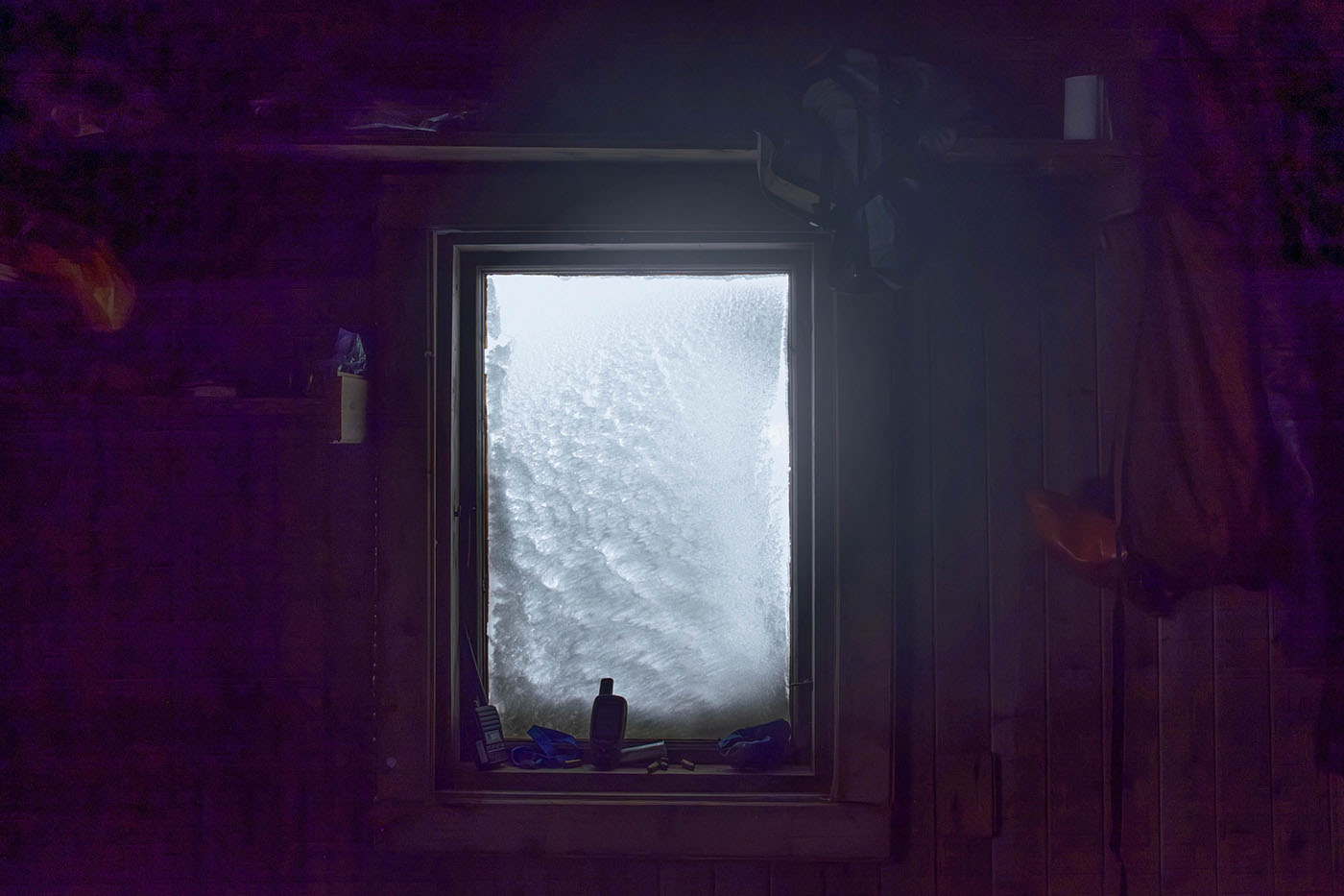
Cabin life at Heimland
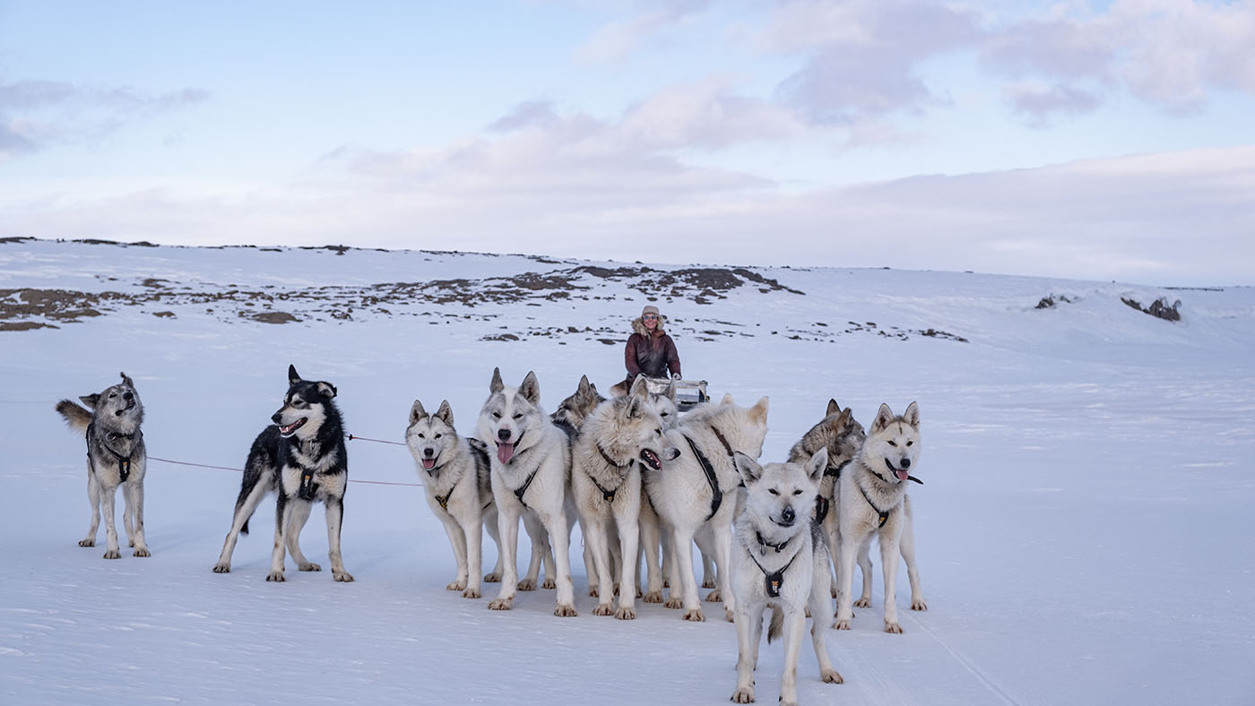
Marcos dealing with the dogs

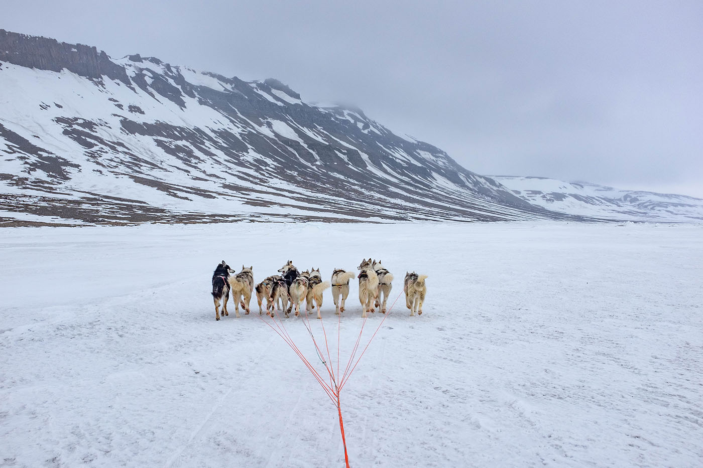
Our leader dog: Lesum
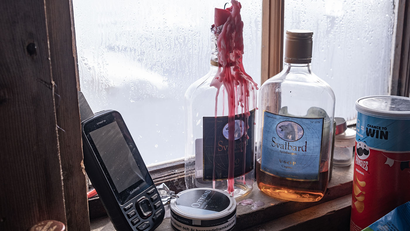
Stilleben @ Heimland
Inside Heimland
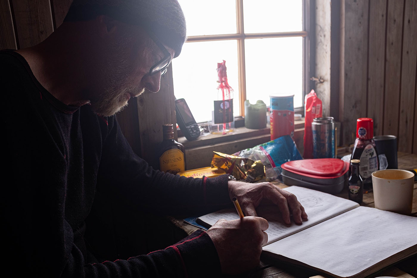
Me writing in the cabin book
20 years ago Anton Trøen & Pritta was here with their dogsteams
Our notes in the cabin book at Heimland
The weather looked a bit better for tomorrow
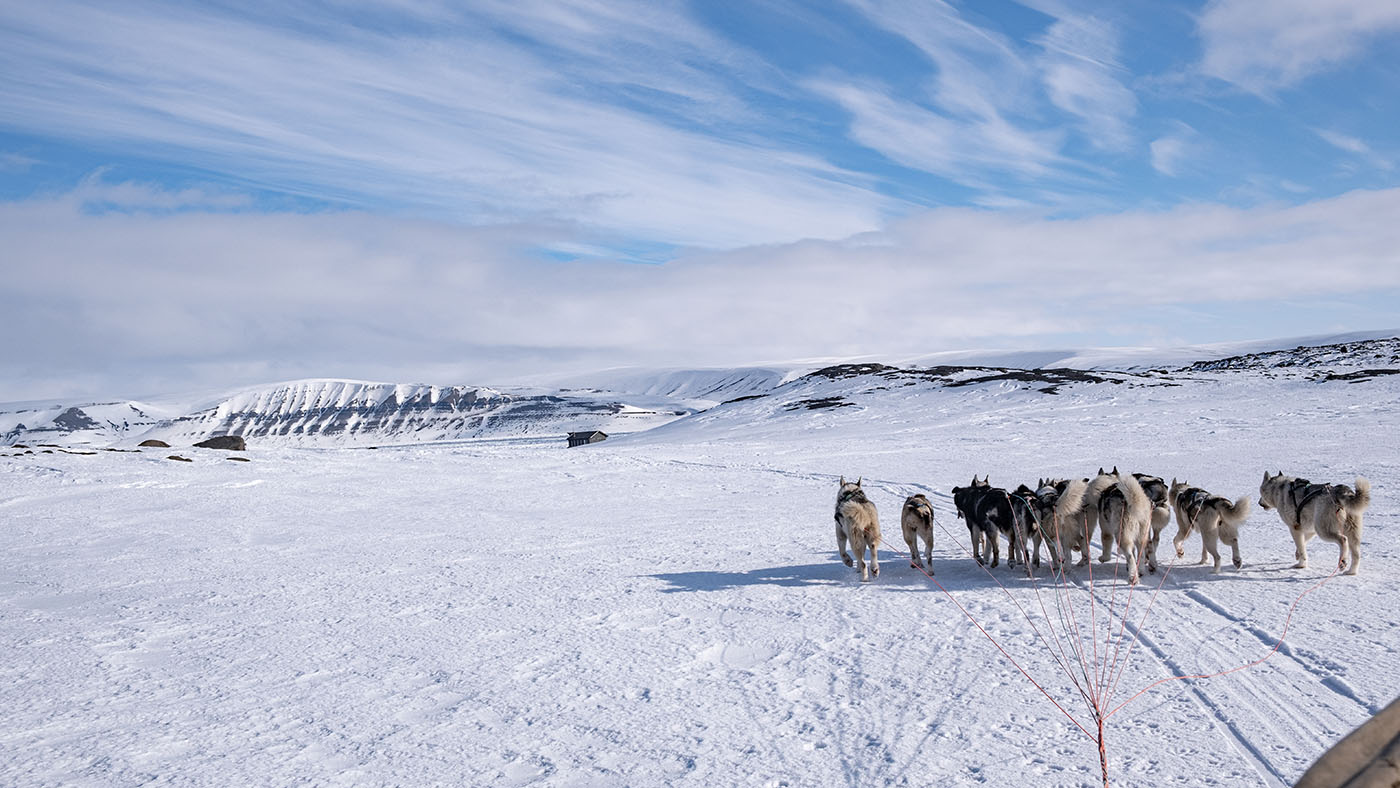
Day 6:
The way home over Stor Fjord
Bad weather & GPS navigation
I'm still a patient with a lot of pain but we had to point the dognoses SW and cross the Storfjord
nice conditions on the ice at Heimland
then it was snowing and snowing and snowing...
25 km from Heimland: Mistakodden
Mistakodden
with GPS on headding out on Stor Fjord

Storfjord with some visibility
"dekrølling" the dogslines
Some times we could see Barentsøya and Edgeøya but we never saw Spitsbergen befor hidding shoreline
After 65 km the mod was bad! Tons of snow and slow progress for the teams
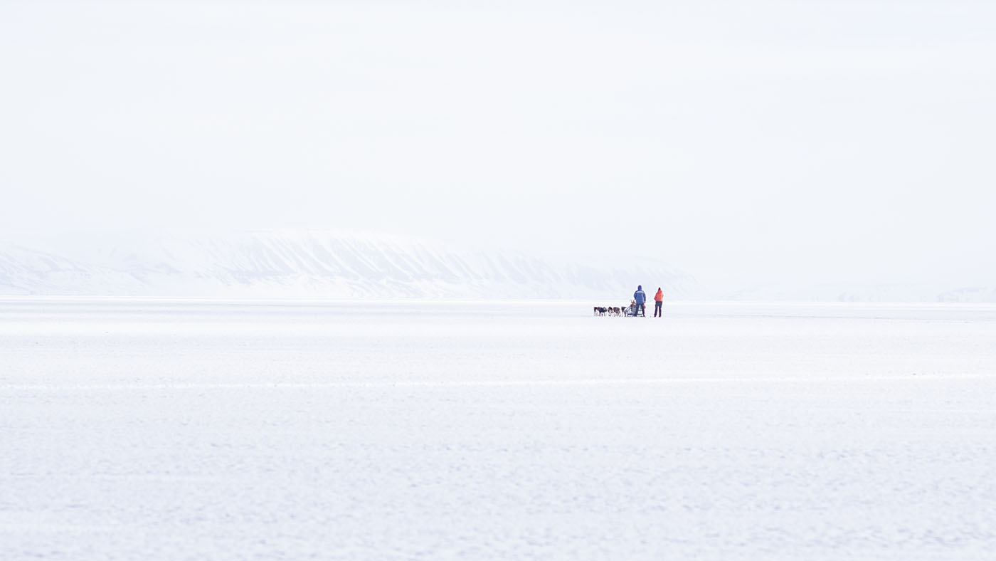
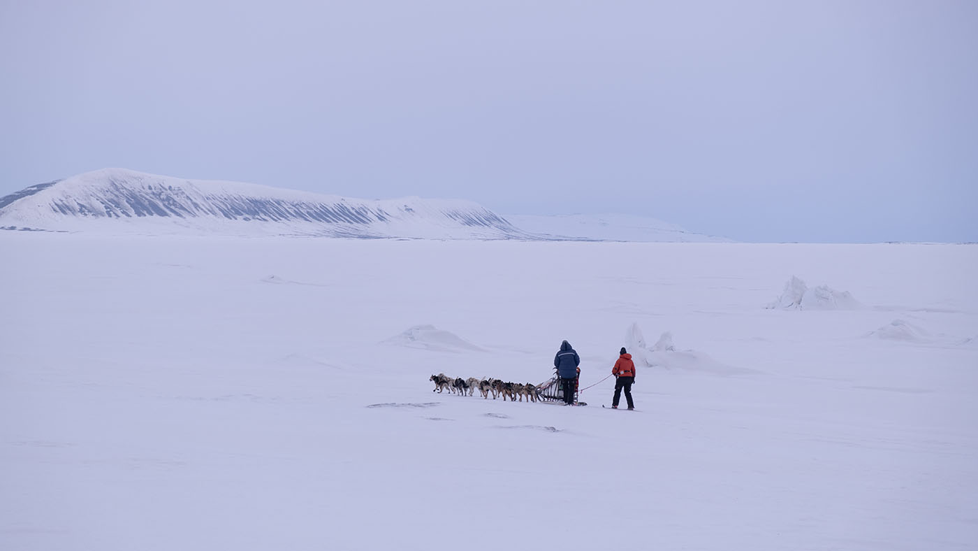
Ingvild decided to put on her skies and walked in front of the dogs
We had to reach the old camp in the Usher morain.
I can't understand where she got the energy from! I was completely exhausted even mostly sitting as a patient on the sled
The old camp in the Usher morain
The 70 Km track from Heimland to Usher moraine
Day 7:
The 80 Km way home over land back to Longyearbyen
Tons of snow - and the miss of snow
We reversed the day and drove at night. Streams and waterholes were frozen at night.
A lot of snow on Usherbreen
Rabbotmoraine and Sassendalen
Up Rabbotmoraine
Marcos up Rabbotmoraine
Break at Eskerfossen
Adventdalen. Almost no snow here at Innehytta
At Innehytta.
But we made it with the snowmobiles all the way in to town.
A big THANKS to Ingvild, Tina & Marcos!
Without their help I couldn't implement this tour after my accident on the east coast of Barentsøya!